Backpacking at Wedgemount Lake in Garibaldi Provincial Park, BC
Trip Overview
Wedgemount Lake is located in Garibaldi Provincial Park around 2 hours north of Vancouver and a short drive from Whistler, BC. The out-and-back hike is 8 miles (14 km). It’s short enough to be a day hike, but I highly recommend making it a backpacking trip. Seeing the sunset and sunrise light at Wedgemount Lake was nothing short of magical, and the campground infrastructure is pretty luxurious: solid and spacious tent pads, pulley-operated bear poles, an emergency shelter, and a pit toilet.
The hike to Wedgemount Lake is known for being unforgivingly steep. Dense forest and tree roots characterize the first portion of the trail, and a boulder field is the final obstacle before reaching Wedgemount Lake. At points, I think calling it a scramble would be more accurate. In early or late-season conditions, the precarious boulders are constantly slippery from slushy snow or overflowing streams, and require extra caution.
From the Wedgemount Lake campground, you can easily hike to Tupper Lake, a new lake that has formed at the toe of the receding Wedgemount Glacier. The campground also serves as a basecamp for several mountaineering objectives, including the nearby Wedge Mountain and Mount Weart.
Trip at a Glance
| Distance | 8 miles (13 km) |
| Elevation Gain | 4,000 feet (1200 meters) |
| Elevation Range | 2,500 - 6,333 feet (762 - 1930 meters) |
| Length | 2 days |
| Backcountry Campground | Wedgemount Campground (reserve on camping.bcparks.ca) |
| Highlights | Wedgemount Lake, Wedgemount Glacier, Tupper Lake, Wedge Mountain |
| Type | Out-and-back |
| Trip Date | Jul 6-7, 2022 |
Itinerary
Day 1: Trailhead to Wedgemount Lake Campground. 4 mi/+3600’ gain
Tupper Lake (return): 2 mi/+400’ gain
Day 2: Wedgemount Lake campground to Trailhead. 4 mi/0’ gain
For several years in a row now I've spent July 4th in the backcountry. It's a great time for backpacking as it's on the cusp of early-season and summer conditions. Water is plentiful, foliage is thriving, and trails are mostly clear of snow. Although, the last point is a real gamble depending on the year.
In 2022, I decided to head to Vancouver for my July 4th trip as I hadn't been since I was a kid. I planned a nice balance of urban exploration (and by this, I mostly mean eating) as well as backpacking. For the latter, I knew I wanted to do Panorama Ridge in Garibaldi Provincial Park. I’ve seen countless photos of the sweeping views of bright blue Garibaldi Lake from Panorama Ridge. It was a bucket-list trip that I’ve probably known about since before I started backpacking. Panorama Ridge was only an overnighter, so I wanted to find a second trip to do.
A friend of mine who lives in Vancouver recommended Wedgemount Lake. Seeing photos of Wedgemount Lake instantly convinced me. The turquoise color of the lake, snow-laced peaks, and treeless starkness—it was a glacial paradise I could only dream of seeing in California at this elevation and with this level of accessibility. Wedgemount Lake’s trailhead was also a close drive to the Garibaldi Lake trailhead, so it was the perfect choice for maximizing our visit to Garibaldi Provincial Park. I booked a one-night stay in Whistler between the 2 backpacking trips.
As the trip approached, I kept a close eye on the weather forecast. Unfortunately, the conditions were not looking great. Rain was forecasted for days in a row, and the snowpack was melting out slower than expected. Trail conditions posted to Facebook and AllTrails suggested the possibility of needing snowshoes or ice axes. We originally were backpacking first and then finishing off our trip relaxing in Vancouver. To buy us a few extra days and avoid the worst of the rain, I hastily swapped our backpacking days with our Vancouver days and rebooked our permits.
Day 1: Trailhead to Wedgemount Lake
We left Vancouver Wednesday morning. Vancouver-ites might be used to this view, but I was absolutely gawking at every bend of Highway 99 on our drive north towards Whistler. The road winds right along the coastline. Across the bay, snow-capped mountains tower over the water. The juxtaposition of mountains and ocean always makes the mountains appear even more lofty.
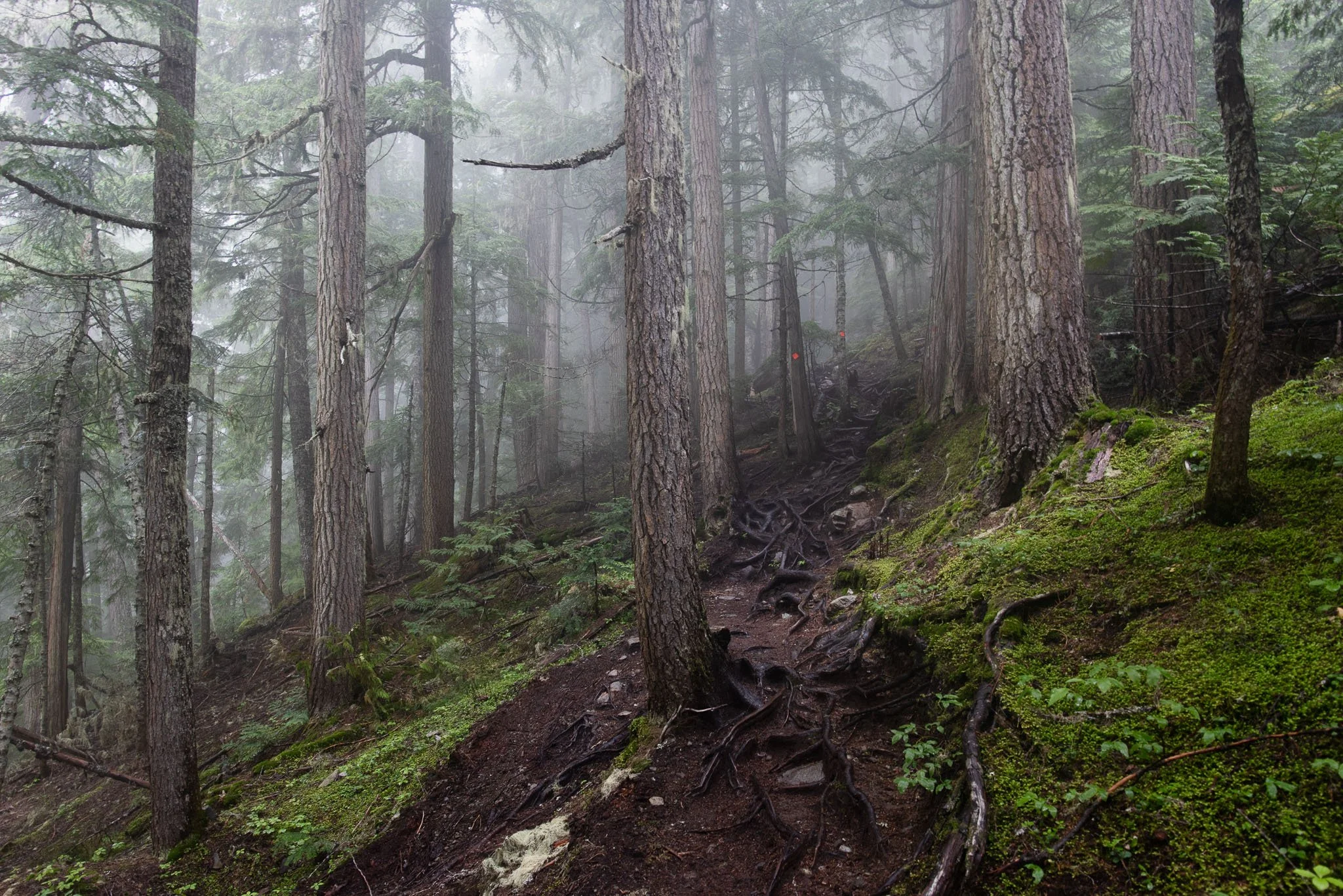
When we got to the trailhead, it was overcast but not raining, and visibility was pretty good. We were optimistic as we set out a little after 10 AM. Pretty much immediately, the trail started climbing. I knew this hike was going to be steep. I came mentally prepared for the 4,000 feet of gain in 4 miles. I was less prepared for the fact that the trail was not in great shape. We grabbed on to tree roots to help pull ourselves up hip-high steps, and not-so-gracefully straddled many logs. In a way, it was a nice distraction from the steepness, and it forced me to slow down so that I never got to the point of feeling exhausted.
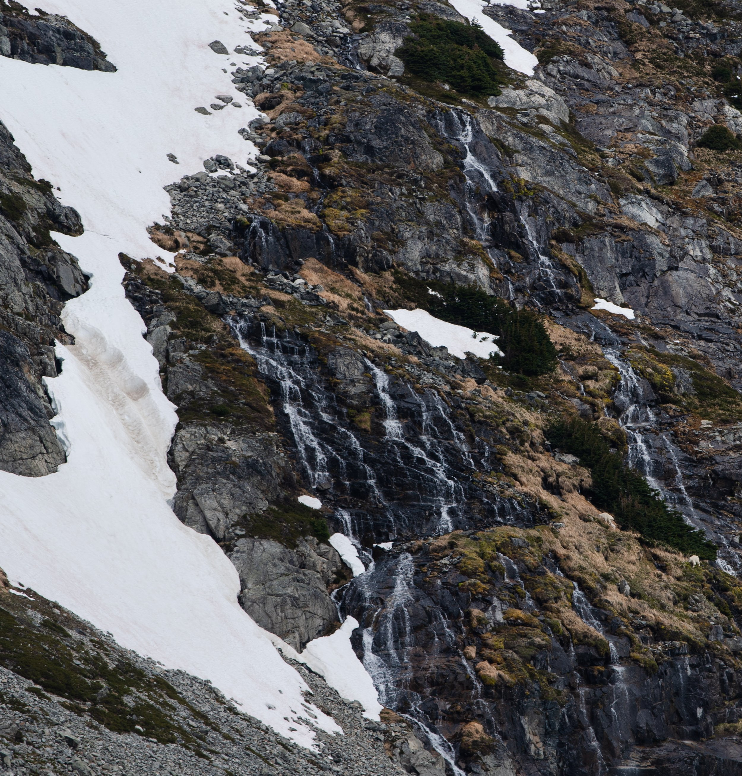
Since we were under the canopy of trees for this first part, there were no views. Yet it was still absolutely beautiful. When I think of hiking in the trees in California during the summer, I think of dry forest floors and breathing in dust clouds if I walk too close behind my friend. These forests were different. They were so lush and green. The cool air was filled with moisture, and we hiked with the soothing sound of a waterfall in the distance.
I guess you could call this a trail.
I guess you could also call this a trail.
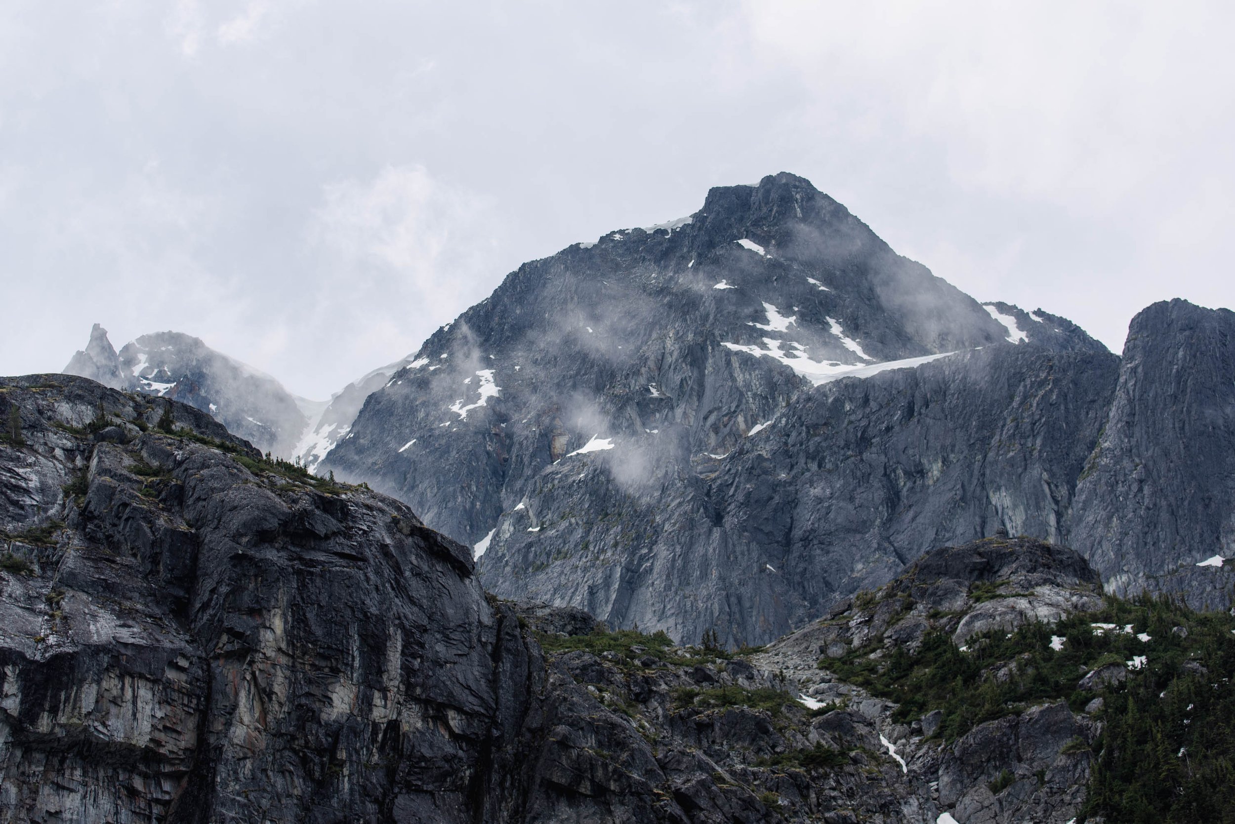
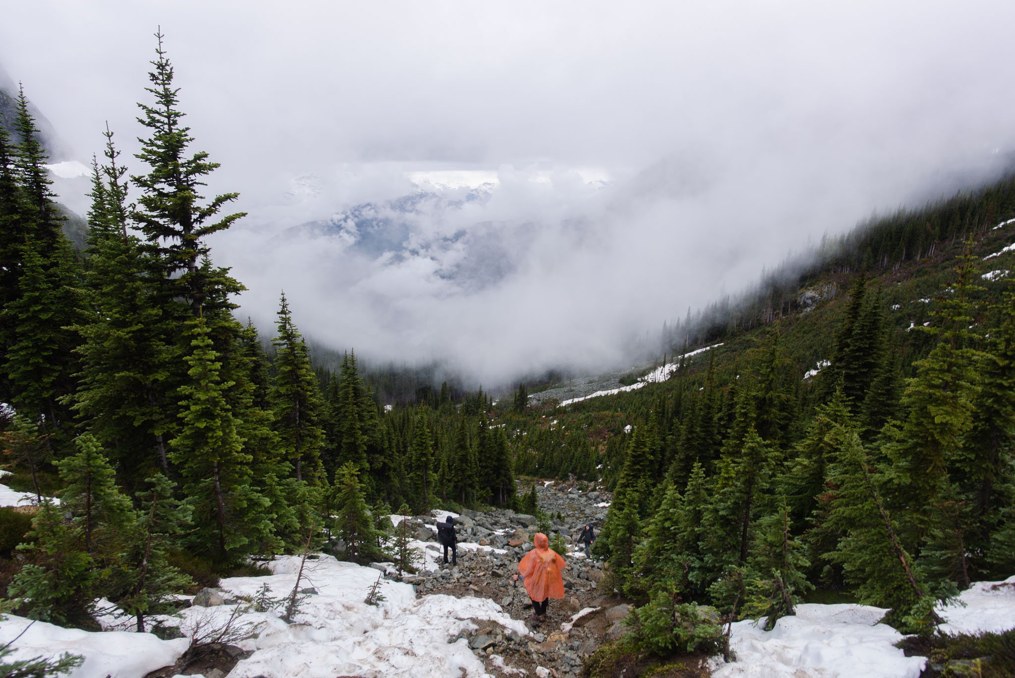
Once we emerged from the tree cover, we could see low fog obscuring the peaks around us. Normally we'd be able to see far into the valley behind us, but it was completely covered by clouds too.
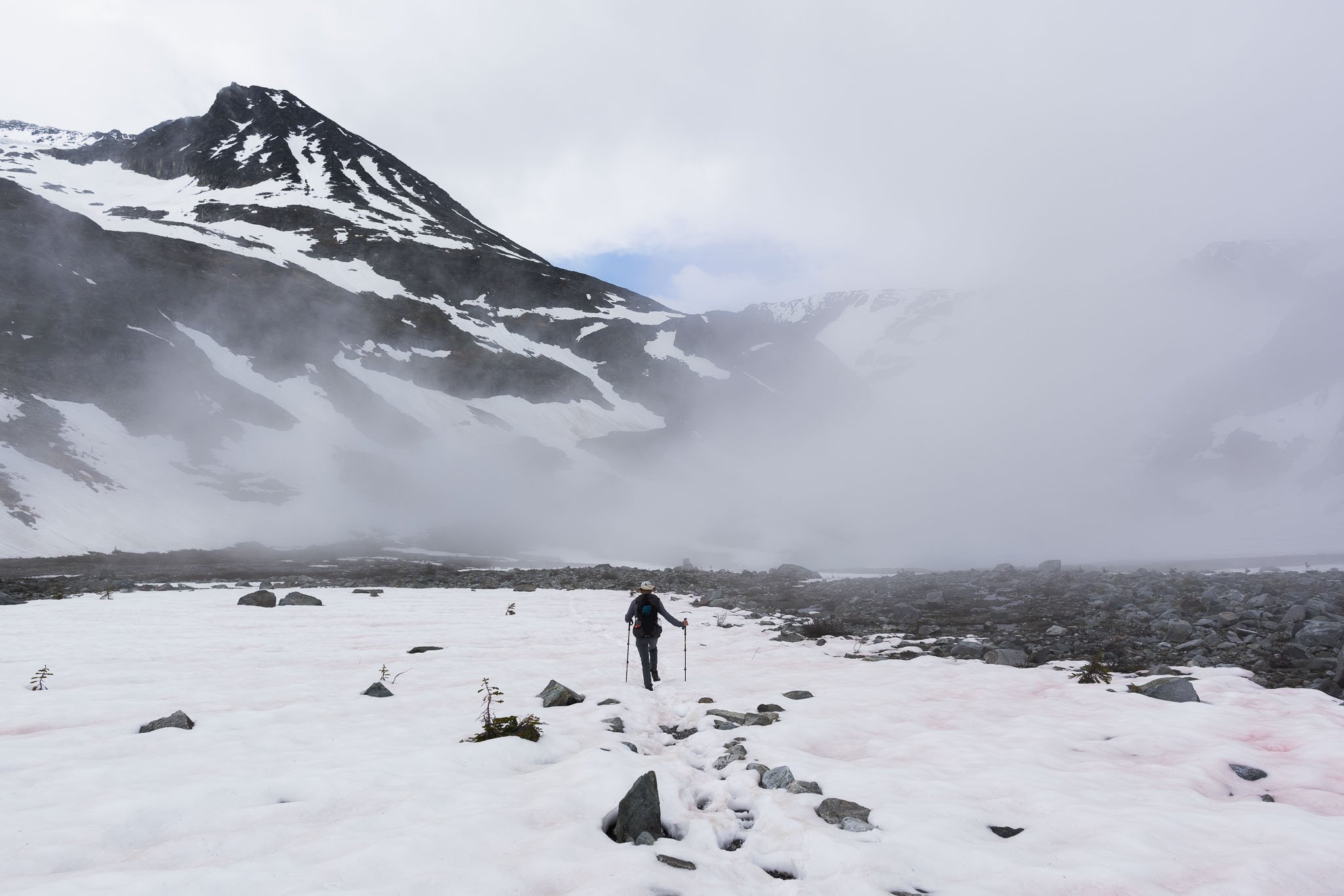
The last section was a spicy boulder scramble up the drainage of Wedgemount Creek. Hands were no longer optional. There were snow patches, but they were slushy enough that microspikes didn’t help. Walking over the weak snow was like playing Russian roulette, but with post-holing. Basically, what looks like solid snow can turn out to be a thin crust of snow over nothing. Is this step going to break? Or…this step? You never know. For sure one of the less glamorous parts of early-season hiking.
Hiking up the steep boulder field.
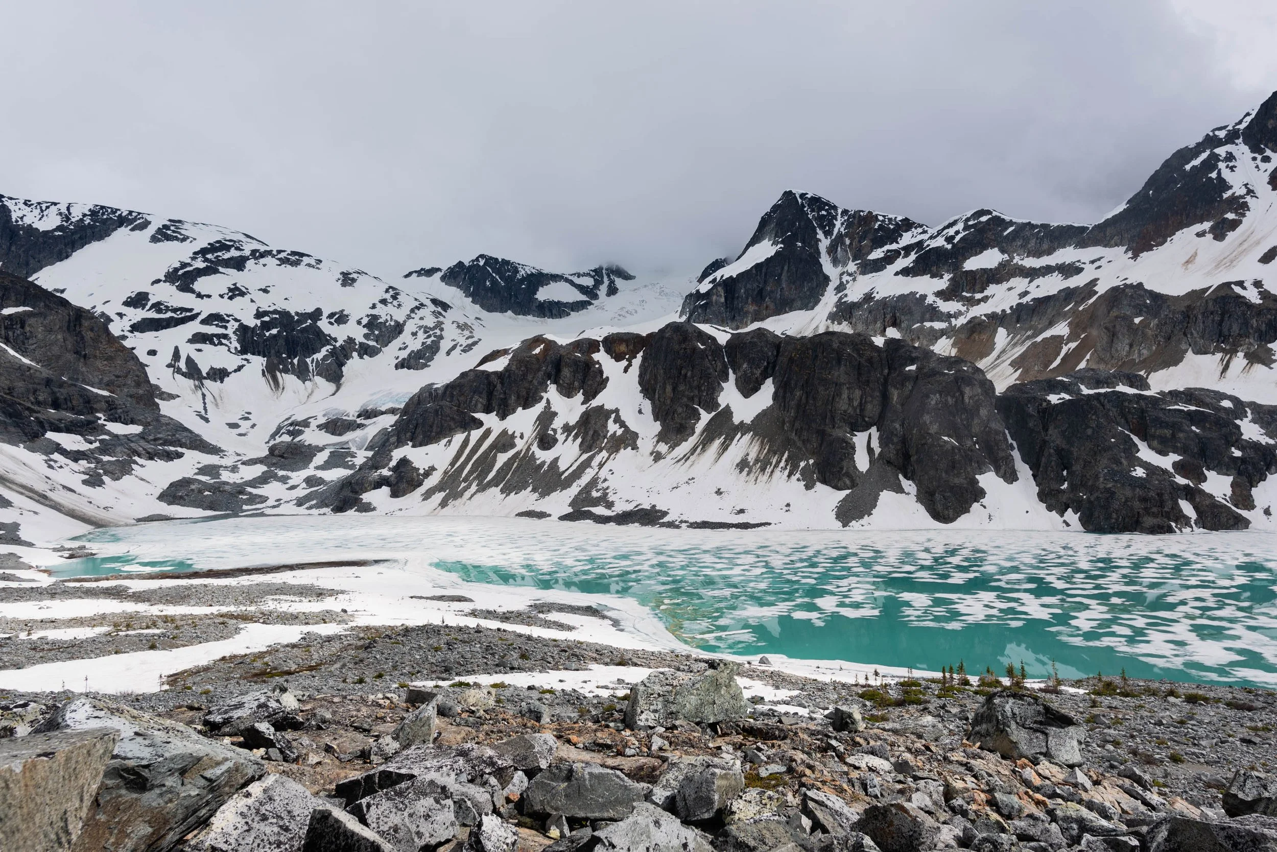
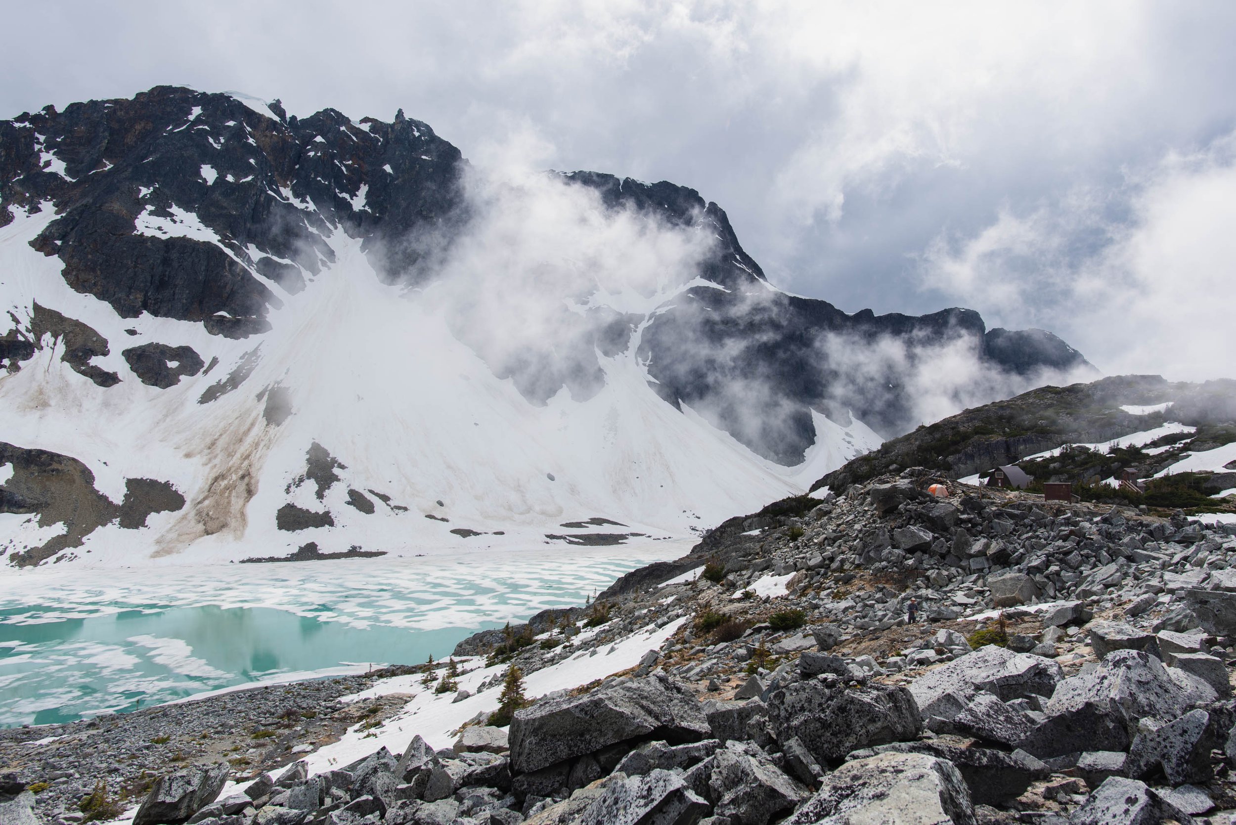
The terrain mellowed as we crested the top of the boulders and arrived at Wedgemount Campground. Wedgemount Lake sits a little ways away, 200 feet lower at the bottom of the basin. The basin is surrounded by impressive peaks. It was very foggy when we arrived, but we were hopeful since the fog was fast-moving. We managed to get brief glimpses of Wedgemount Lake here and there.
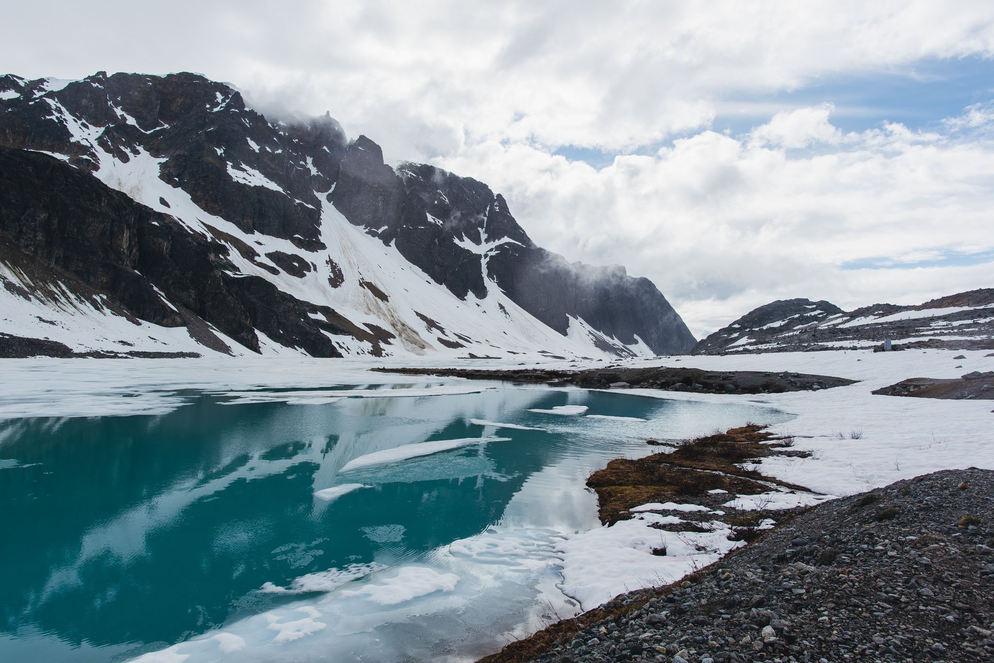
The lake is liquid but the surface is dappled by melting ice.
The Wedgemount Lake campground is situated amidst a boulder field that would otherwise have few suitable campsites if it weren't for the tent pads, wooden platforms built directly amongst the boulders.
Usually when backpacking in the Sierra, there are not even designated campgrounds. Providing you are following Leave No Trace principles, you can camp anywhere you can set up a tent. As far as backcountry experiences go, tent pads were a luxurious upgrade to me. The wooden ones allow rainwater to drain and keep the tent pad clean and free of debris. More importantly, they are completely flat! No sloping ground and sliding on to your tent mate, no uncomfortable rocks digging into your back.
After walking around, it seemed most of the tent pads were unoccupied, but they also didn't have views of the lake. Of the 3 spots with views, only 1 was left. Tent pads are 10 x 10 feet, which make them very spacious for 1 tent and a cozy fit for 2 tents, but we ambitiously crammed 2 tents and 1 bivy on to this prime real estate.
Really challenging the definition of a single tent pad here.
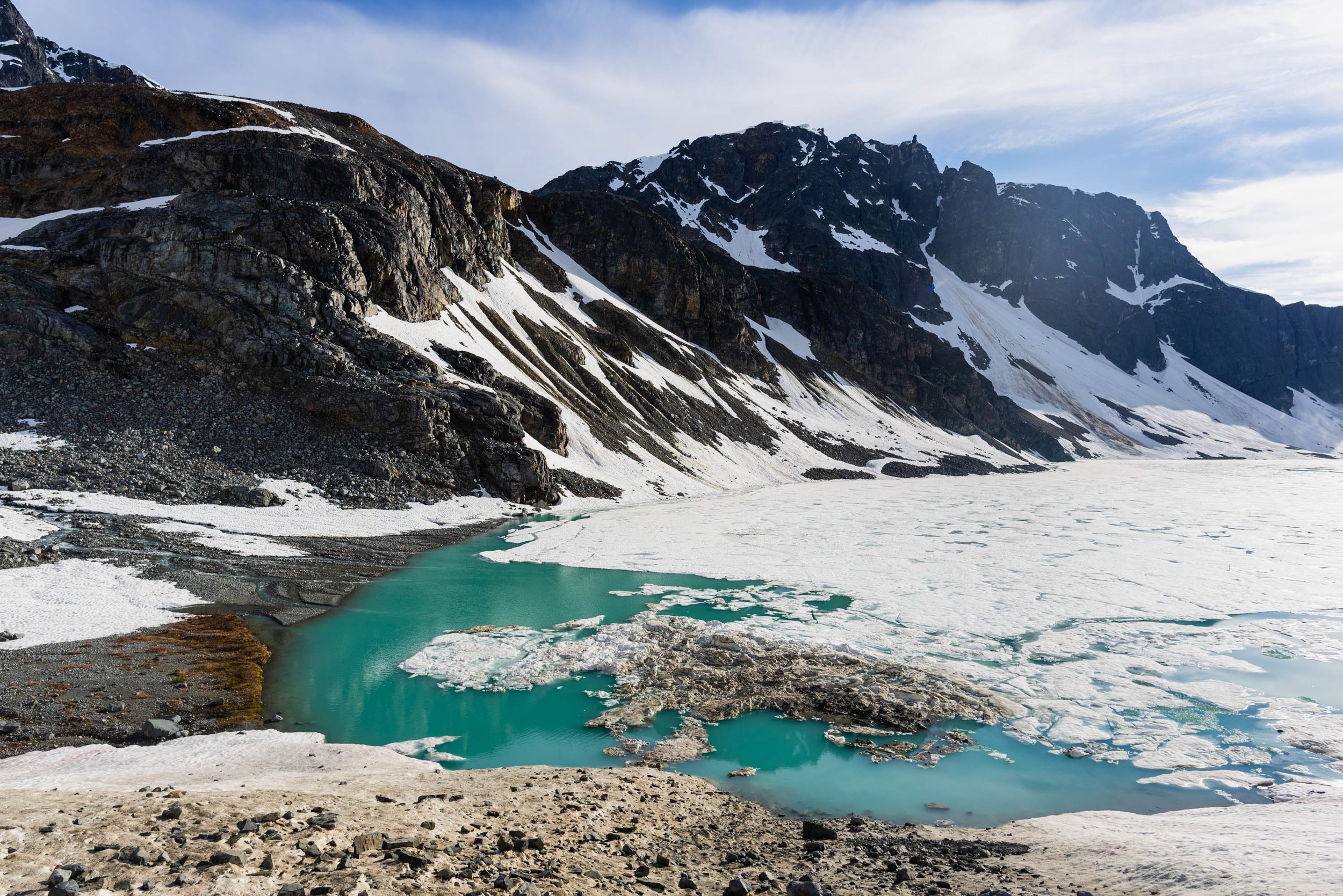
The fog drifted in and out for the next couple hours as we relaxed at our campsite. This made the light incredibly dynamic. One minute the sun was shining, and the lake was a dazzling shade of teal. The next minute, the sun was obscured again. The wispy low clouds created some unique, minimal compositions to photograph. Relaxing on tent pads free of snow with the mountains still cloaked in winter—gosh I love shoulder season.
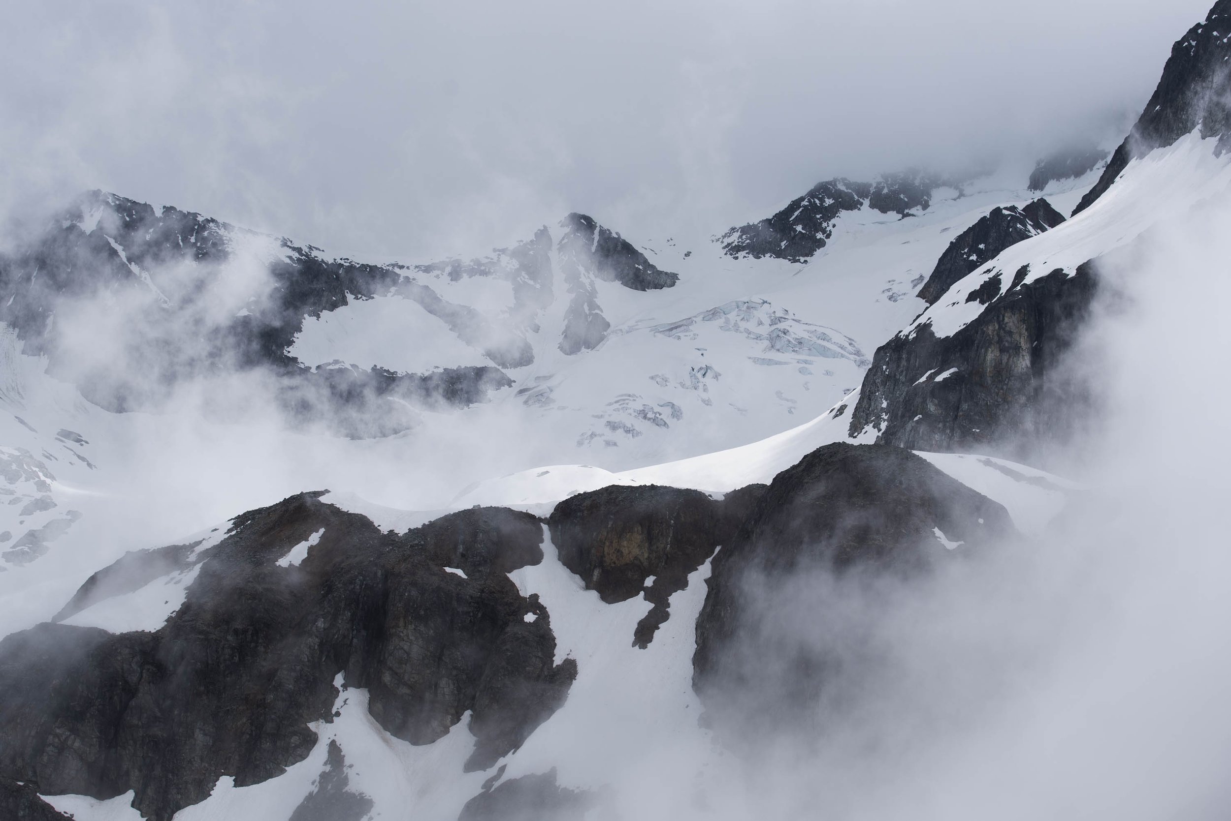
I also took this time to check out the pit toilet. Toilets while backpacking? Also a novelty for a Californian. Even more notable was the "flushing" mechanism. Basically, instead of pooping into a dark pit, you use a foot-pedal to whisk away any solids on a conveyor belt.
Nick and I left the campground at 4 PM to check out Tupper Lake. The small lake was a few hundred feet higher than Wedgemount Lake that had formed at the terminus of Wedgemount Glacier. AllTrails marked a trail that was around 1 mile each way.
We first descended to the lake, where we were surprised to find several more campsites, all unoccupied though. These campsites were on flat gravel rather than raised wooden platforms. In the summer when there's no snow, I'm not sure which campsites are better: lakeside or lake-view? Hard to choose.
There were multiple stream crossings. The stream was so full that it branched in dozens of rivulets that flowed uninhibited. Most crossings were shallow, but we had to be picky about where to cross since we didn’t want to wade through the icy water. Then we followed footprints that traveled across the snowy eastern bank of Wedgemount Lake upwards to Tupper Lake.
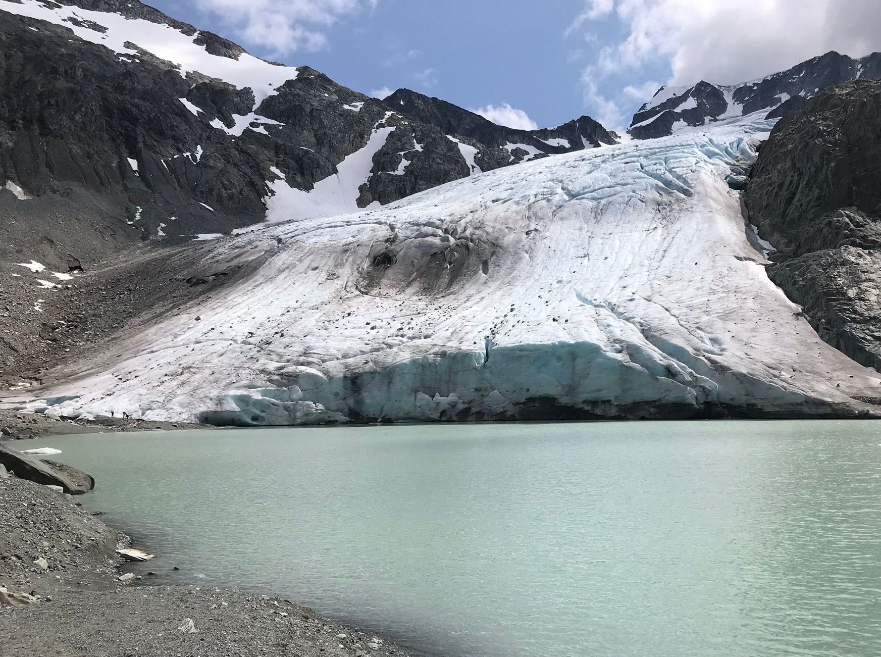
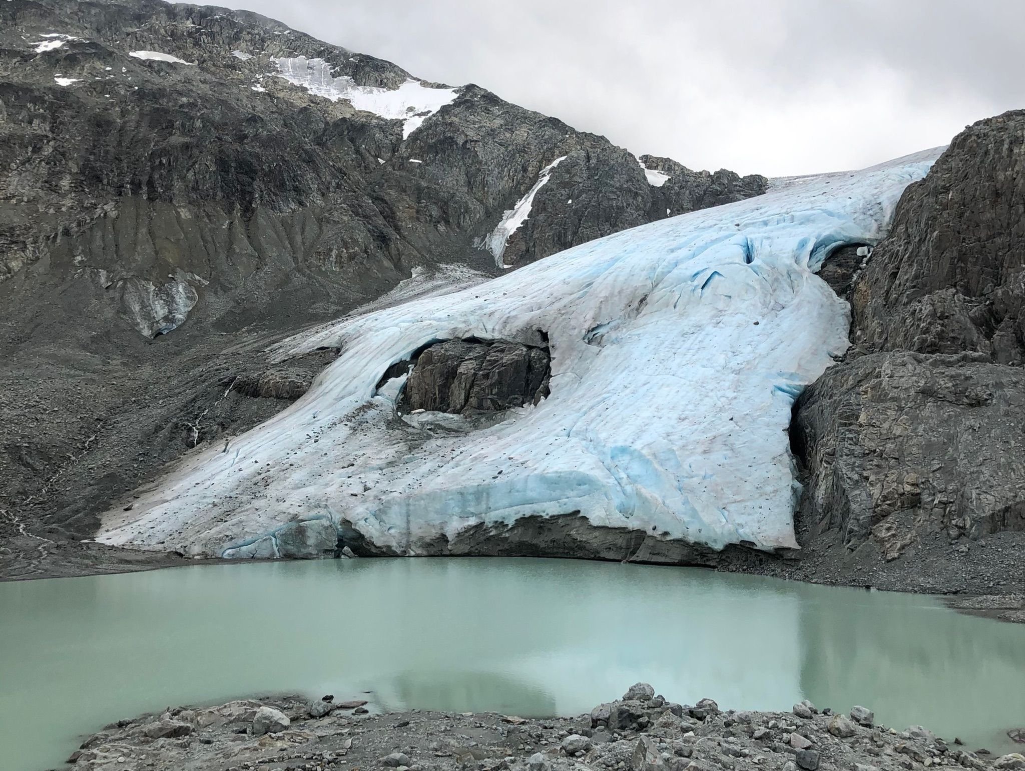
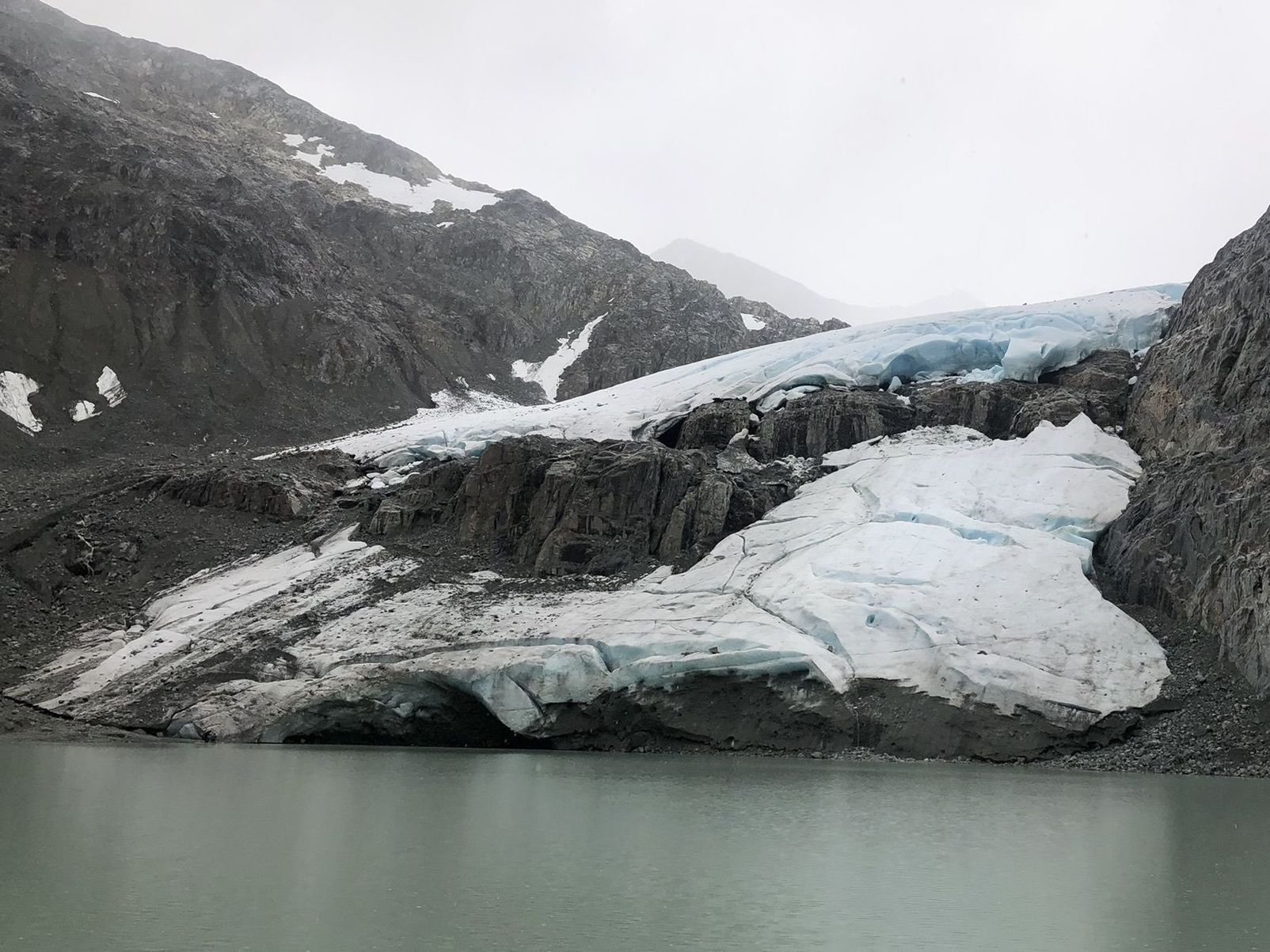
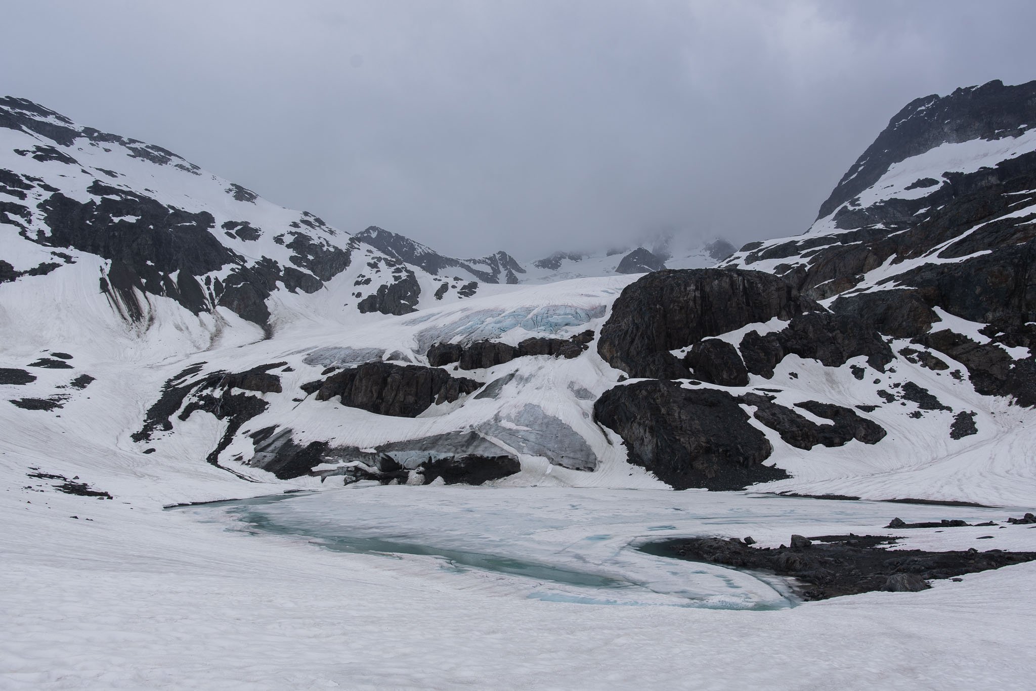
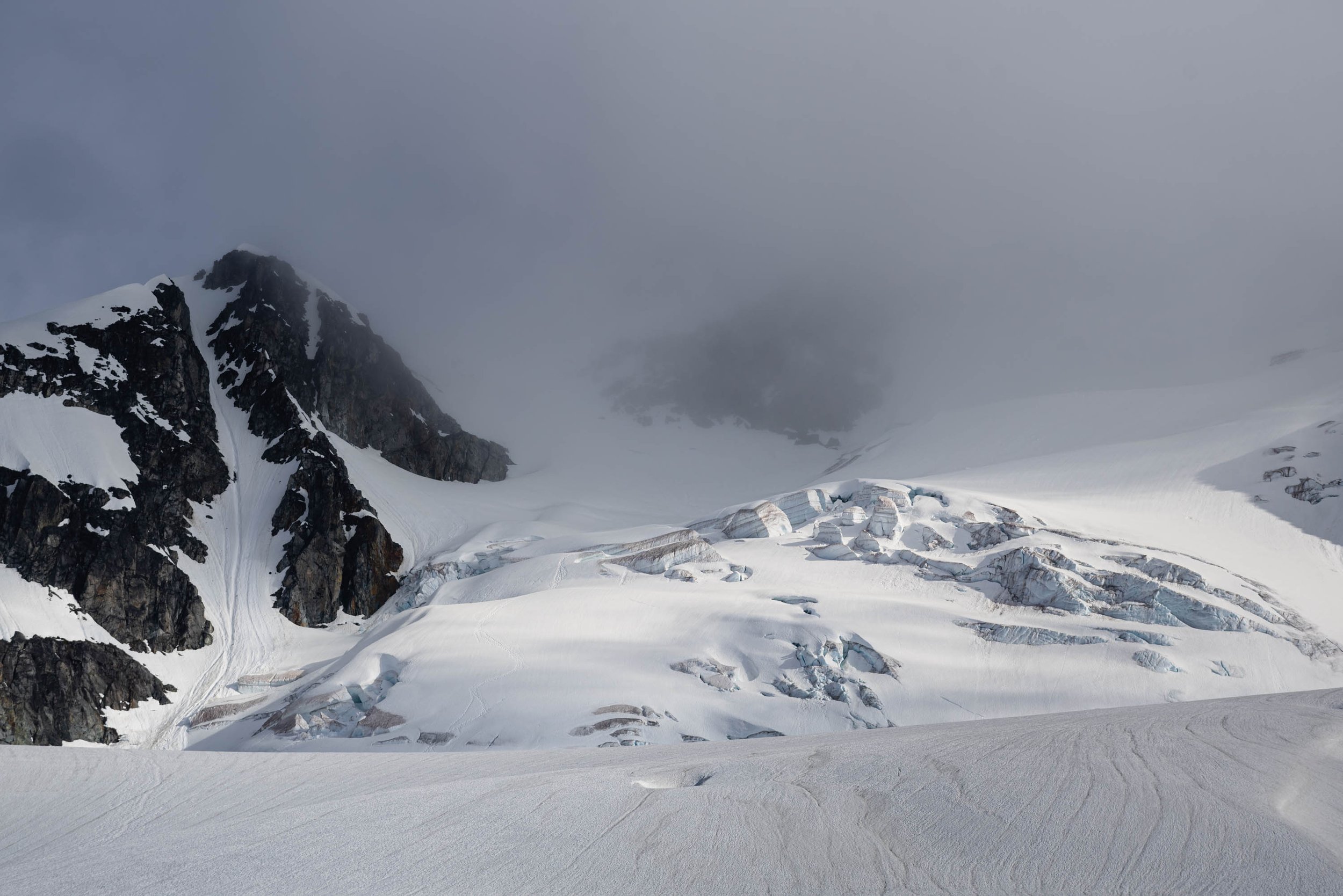
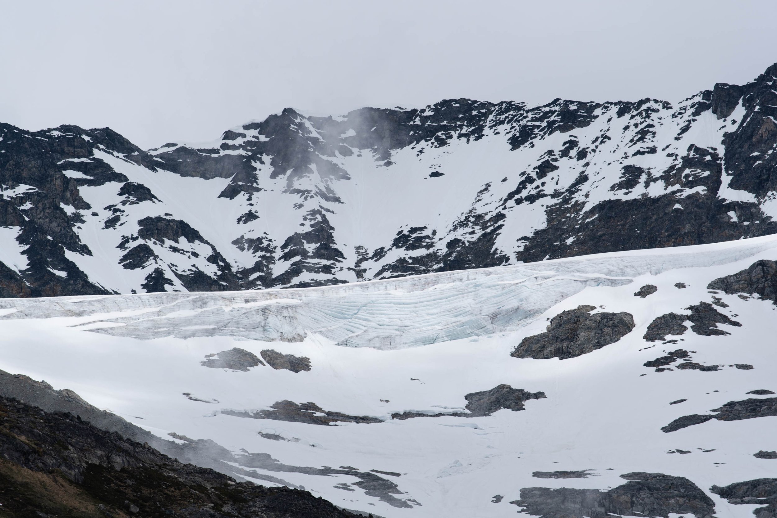
When we first got to Tupper Lake, I didn’t completely understand what I was looking at. Wedgemount Glacier in person looked pretty different from the image I had formed in my head after seeing photos online.
Later, I came to a solemn realization of how rapidly the glacier had shrunk in the past few years. In photos taken 3 years ago on AllTrails, the glacier was an impressive sheet of ice stretching all the way to Tupper Lake. By 2 years ago, a large hole had started to form in its center.
In the 2022 photo taken by me, it’s hard to tell how far the glacier has receded because of the snow covering all the exposed rock. Photos taken later the same season show that the glacier no longer touches Tupper Lake. Of course, the formation of Tupper Lake itself is evidence of the glacier recession. Wedgemount Glacier used to extend down to Wedgemount Lake, covering the whole distance that we had hiked from our campsite.
It feels like I have the rest of my life to visit the wonders of nature, but this reminded me that features that took thousands of years to form can be less permanent than we think. And now I have a newfound sense of urgency to go see glaciers.
I didn't get many photos at Tupper Lake since it was pouring. As we started walking back, the rain suddenly stopped and the sun came out in full-force. I kept excitedly stopping to take photos, and backtracked a little to get a better shot of Wedgemount Glacier from afar. The sunshine was short-lived though. Another stream of fog moved in quickly after, and we made our way back to camp in the gloom.
Glowy sunshine on our way back to Wedgemount Lake.
The fog sweeped in in just a few minutes.
Day 2: Back to trailhead
I woke up just as the sun started lighting up the peaks. I don't think I've ever slept through the entire night while backpacking. Bless those tent pads.
Breakfast views from our campsite.
Our two tent neighbors!
But just like yesterday, the weather changed quickly. By the time we left camp, we were once again socked in. If we thought going up the boulders was treacherous, going down was worse and took even longer. It started raining and soon water cascaded down over the trail in a makeshift creek. Even once we got down to the protection of the forest, the rain did not let up. The trail became muddy mush in areas where rainwater pooled. Fortunately we were just a couple hours from our dry car.
Once we got back to Whistler, we had one night in between backpacking trips to dry our gear. Our Airbnb looked like an REI store had exploded in it with our wet clothes and tents and packs draped on every surface we could find. Even though the next day had more rain in the forecast, it just felt mentally less miserable to start the trip with dry gear.
Still, the more I backpack in (mildly) inclement weather, the more I’ve come to embrace it. As a photographer, I find that unchanging, clear blue skies for a whole trip can actually be kind of boring! The rainy weather that I tried to avoid ended up making our Wedgemount Lake backpacking trip even more splendid than I had imagined.


