Stuart Fork to Emerald and Sapphire Lakes
Trip at a Glance
| Distance | 28 miles |
| Elevation Gain | 5,500 feet |
| Elevation Range | 2,700 - 5,900 feet |
| Length | 2 days |
| Permit | Self-issued (Weaverville Ranger Station) |
| Trailhead | Stuart Fork Trailhead |
| Points of Interest | Emerald Lake, Sapphire Lake |
| Type | Out and back |
| Date of Report | Jun 22 - 23, 2019 |
The Route
| Day | Destination | Miles | Gain | Loss |
|---|---|---|---|---|
| 1 | Emerald Lake | 13 | 3920' | 1000' |
| 2 | Sapphire Lake (optional) | 2 | 580' | 580' |
| Stuart Fork trailhead | 13 | 1000' | 3920' |
Trip Overview
The Trinity Alps Wilderness is a 4.5 hour drive from the Bay Area and doesn’t require permit reservations unlike most parks and wilderness areas in California. Thus, it makes the perfect last-minute weekend trip.
The trail is a straightforward out and back to Emerald Lake, with an optional (but in my opinion, worth the effort) jaunt to Sapphire Lake. Emerald and Sapphire Lake are pristine, alpine lakes located at the end of the Stuart Fork valley. They each sit in their own granite cirque, and the snowmelt each season feeds these lakes and the Stuart Fork creek that winds through the entire valley.
We camped at Emerald Lake, hiked to Sapphire Lake at sunrise the next morning, and hiked back out to the trailhead after. The daily mileage was 13 miles and 15 miles, which was pretty high for our group. However, the elevation gain was spread out evenly so it was not too strenuous. Another option I’ve seen is camping at Morris Meadow (~9 miles from the trailhead) and day hiking to the lakes, making this a 3 day trip.
Alternative Stuart Fork Trips
Two other trips in the Stuart Fork area that we considered were: Alpine, Smith and Morris Lakes, and Caribou Lakes. These trips both involve steep, 2,500+ feet scrambles out of the Stuart Fork valley and into the rugged Trinity Alps high country. The former trip we could not attempt because the water level of the Stuart Fork made it sketchy to ford. The latter involved bushwhacking through overgrown brush in the steep ascent to Caribou Lakes, so we opted for Emerald Lakes this time around.
Day 1: Stuart Fork to Emerald Lake
This trip was my third backpacking trip, and though I was still very much getting into the hang of backpacking, I was in full weekend warrior mode. I had a 5 day backpacking trip planned the next month, and so I clearly needed to “practice” backpacking as much as I could. The Trinity Alps Wilderness (which I had never heard of before this trip) was the perfect candidate for a spontaneous overnight trip thanks to the quota-free backpacking and close proximity to city accommodation in Redding, CA. Thus, our trip came into fruition.
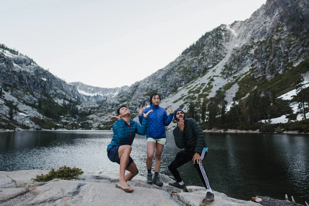
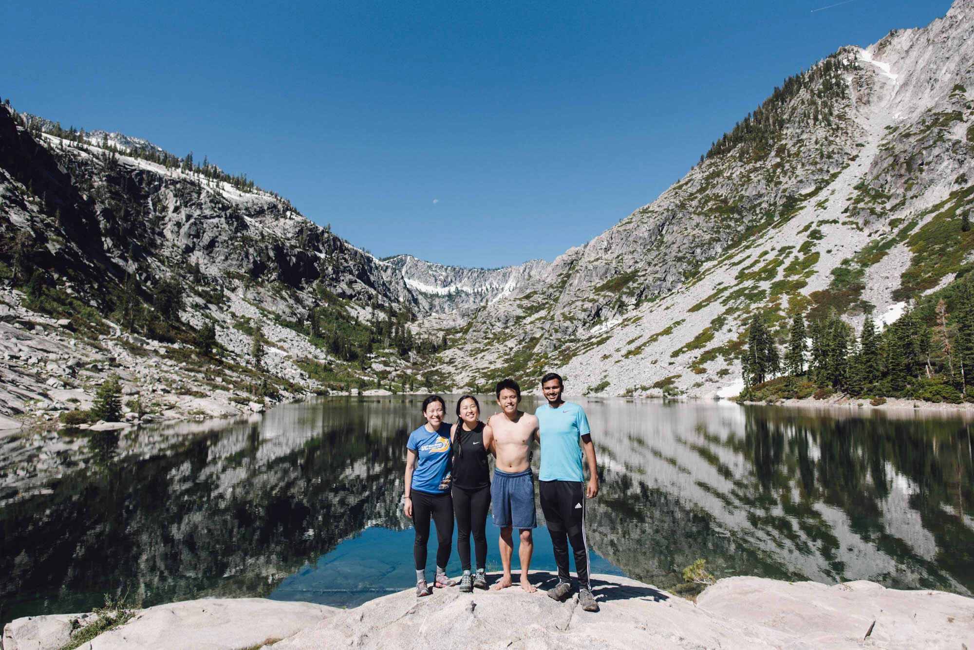
This trip also happened in the nascency of my backpacking group. There were 4 of us, and everyone except me was meeting at least one person in the group for the first time. Three of us were newbies to backpacking, and it was one person’s first ever backpacking trip. Talk about an intense introduction to backpacking! The one veteran backpacker in the group decided to bring two frozen steaks, rosemary, and onion. We cracked up at the ridiculousness of it but also entertained the idea that it could work.

The rushing Stuart Fork at the Alpine Lake trail junction. Alpine Lake, next time!

Morris Meadow
The Stuart Fork trail climbs slowly and steadily through the bottom of Stuart Fork valley, so this trail does not have any notable views until Emerald Lake and Sapphire Lake. On the positive side, this part of the trail was also in the shade, so we powered through it as much as we could until we got to Morris Meadows, which was the first real “finally, something besides trees” moment of this trail.
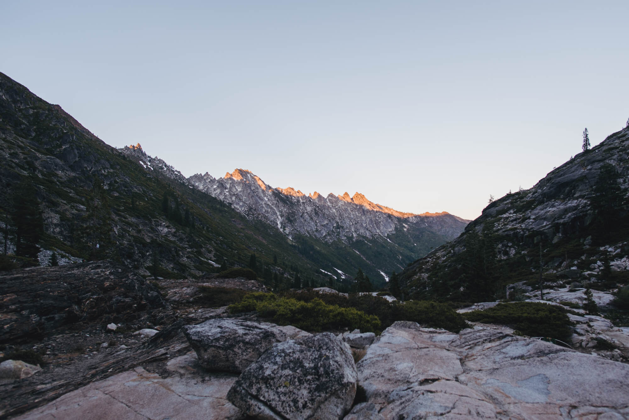
After Morris Meadow, the elevation gain picked up noticeably. Despite the warm 70 degree weather, we saw the occasional rogue patch of snow next to the trail, which was mildly exciting. In the last half mile or so, we finally got a view of the forested valley we spent the day hiking up.

Looking back at Stuart Fork valley

The final stretch to Emerald Lake
With breaks, the hike to Emerald Lake took more or less the full day. We chose to set up our tents on the smooth rock outcropping on the left of the lake. The rock was elevated so that it overlooked the lake and also gave us views of the valley in the other direction. We initially tried to set up our tents on the crest of the rock, which we discovered was the best positioning to get assaulted by wind, so we had to move our tents down closer to the lake.

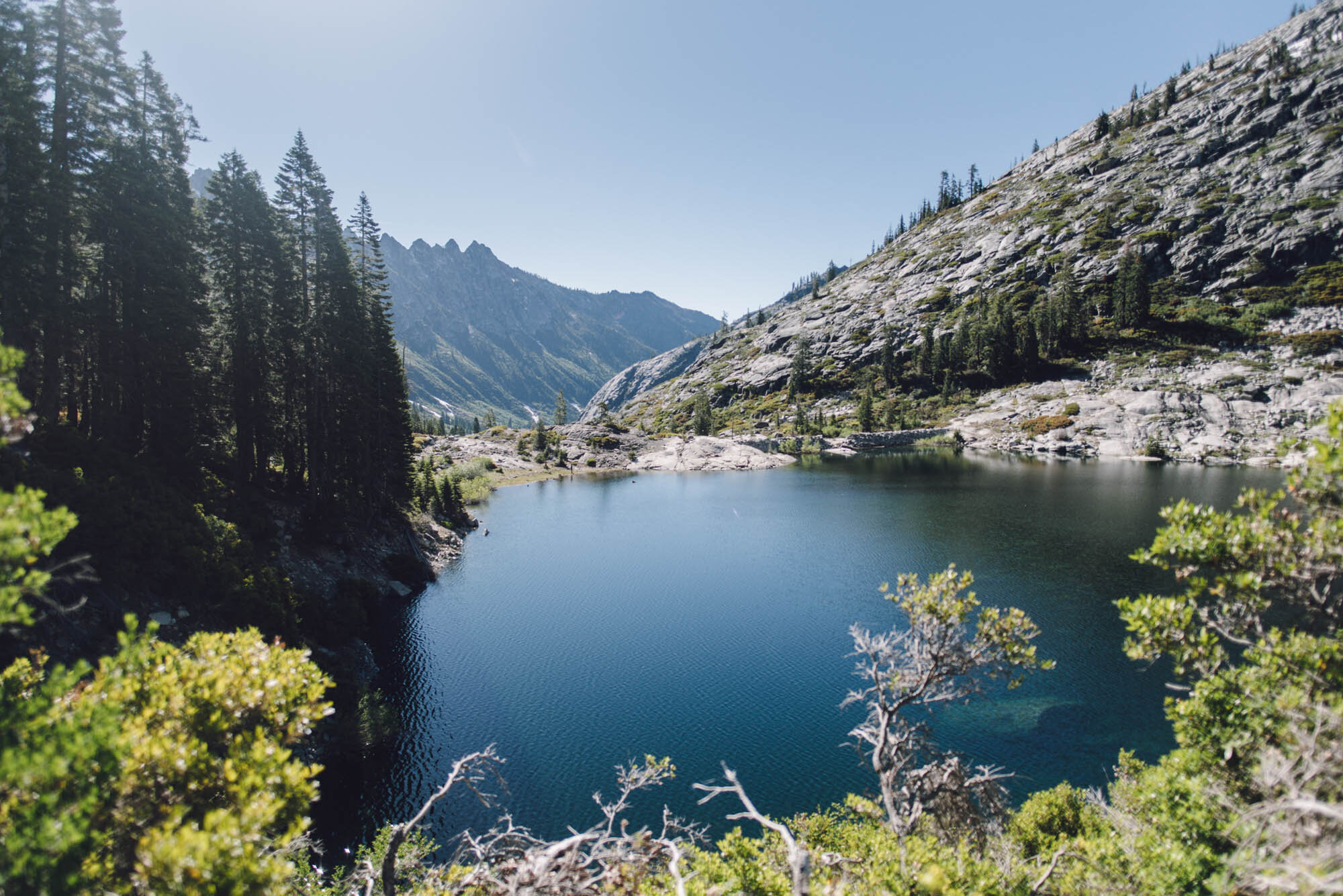
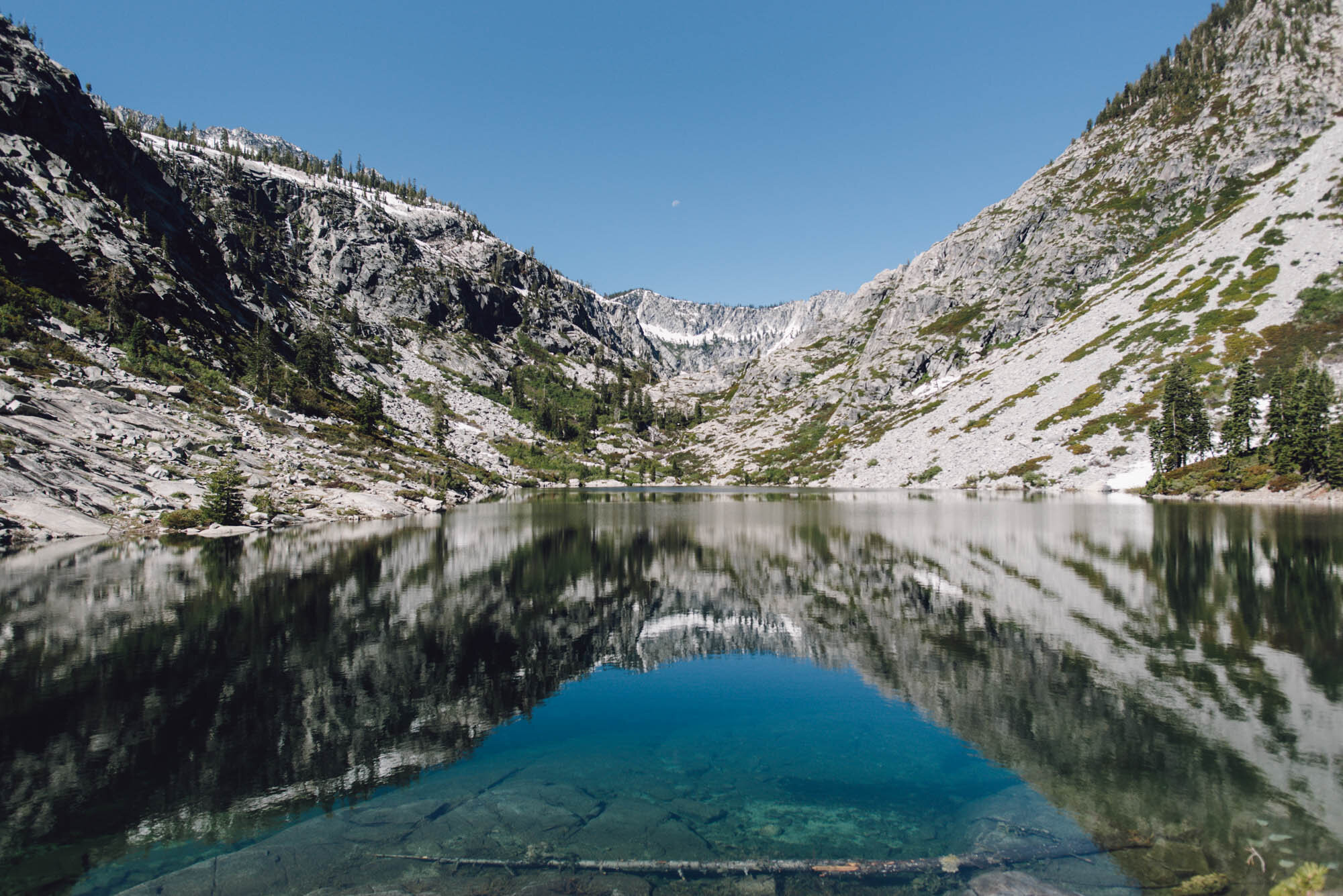
Emerald Lake

Our campsite view

Valley views in the other direction (featuring our neighbor’s tent)
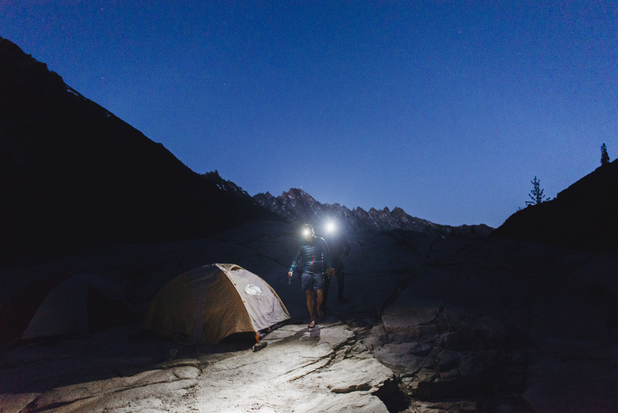
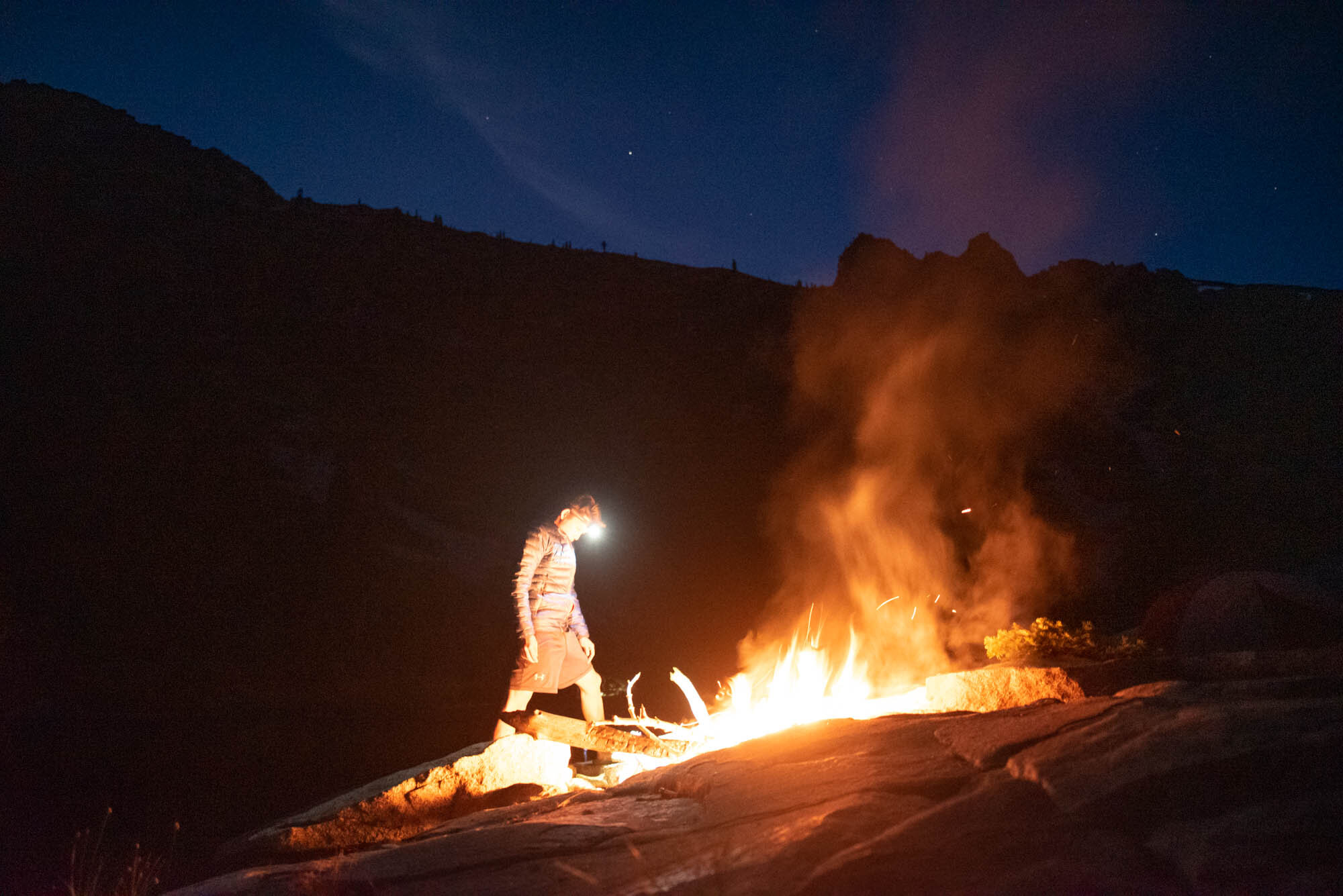
The light disappeared really quickly once the sun set below the tall mountains around the lake so it was good we got our tents situated. The next course of action was to deal with the steak. I say deal with, because we were almost certain the steak had gone bad during the warm day of hiking. It had taken on an off smell and color. My friend still wanted to try to cook it for the heck of it though, and it was thoroughly entertaining to watch.

Summoning caveman roots to grill a steak in nature

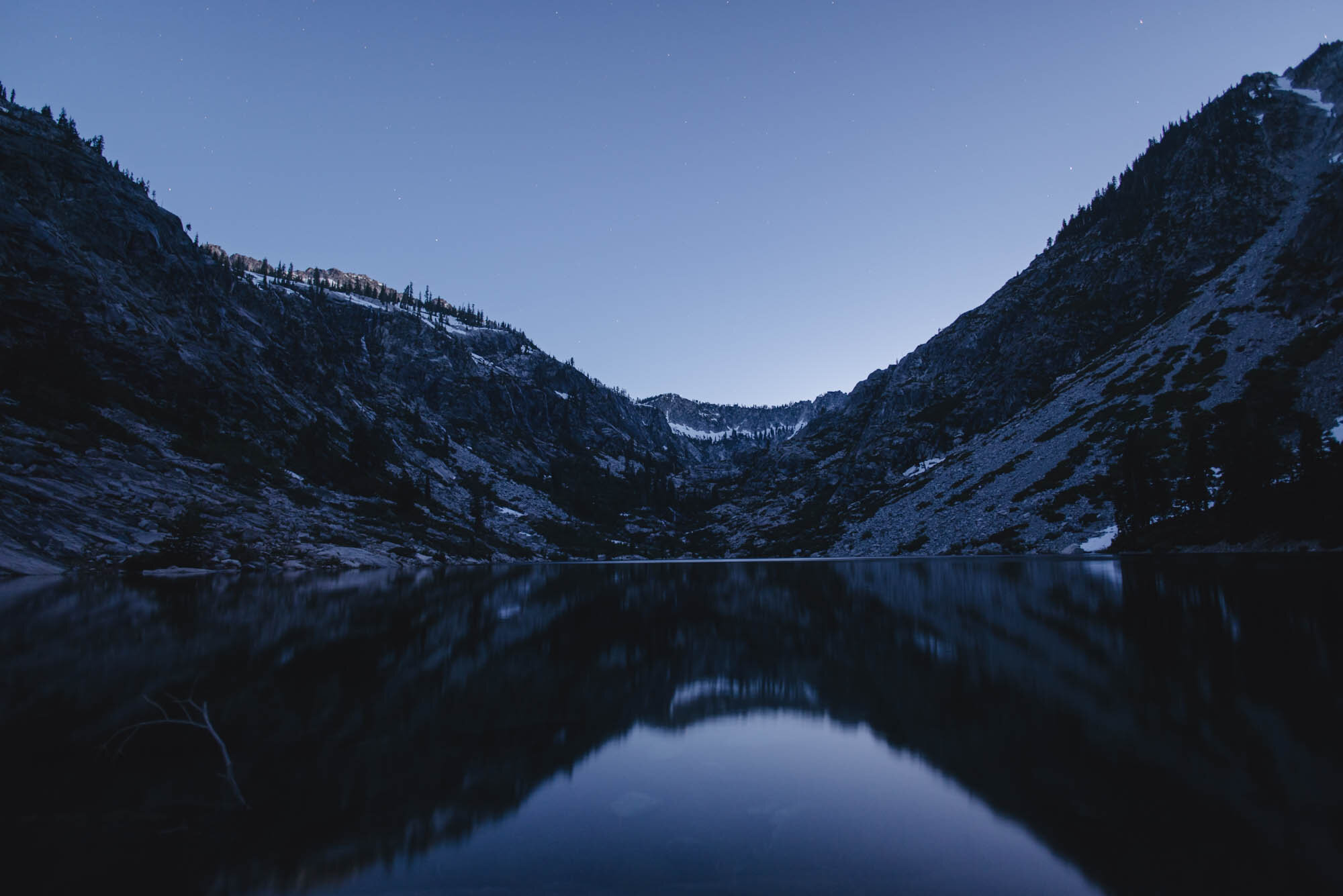
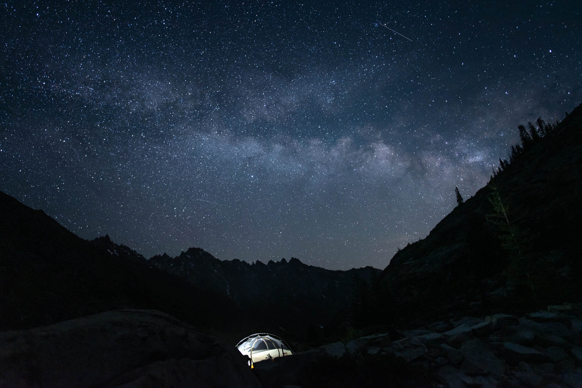
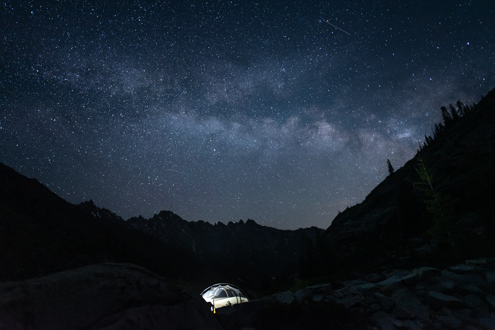
After the steak experiment, we made and ate our actual dinners and proceeded to enjoy what I think is the best part of the day after backpacking: sunset and twilight. We bundled up, built a larger fire, and waited for the stars to come out.

Day 2: Sapphire Lake
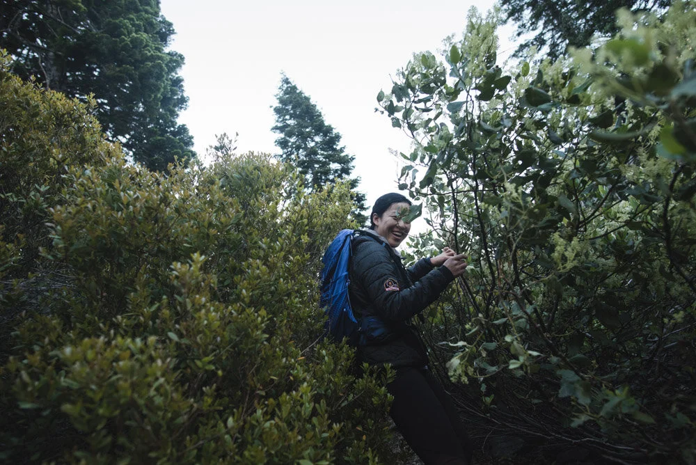
It was bright enough to see outside at 5:30 AM. I took off the tent rainfly and burrowed back into my sleeping bag to enjoy the view from inside the tent. By 6, pretty much everyone was awake. We packed our Mountain House breakfasts and set out for Sapphire Lake as the sunlight slowly creeped into the lake basin. From Emerald Lake you can see the rim of the granite cirque that Sapphire Lake is nestled in peeking out over the ledge. The trail makes its way up around the eastern shore of Emerald Lake and then climbs up the ledge to Sapphire Lake. Parts of the trail are very brushy and there were a few easily traversable snow patches and one boulder field. The use trails are easy to follow.


Emerald Lake views on the way to Sapphire Lake

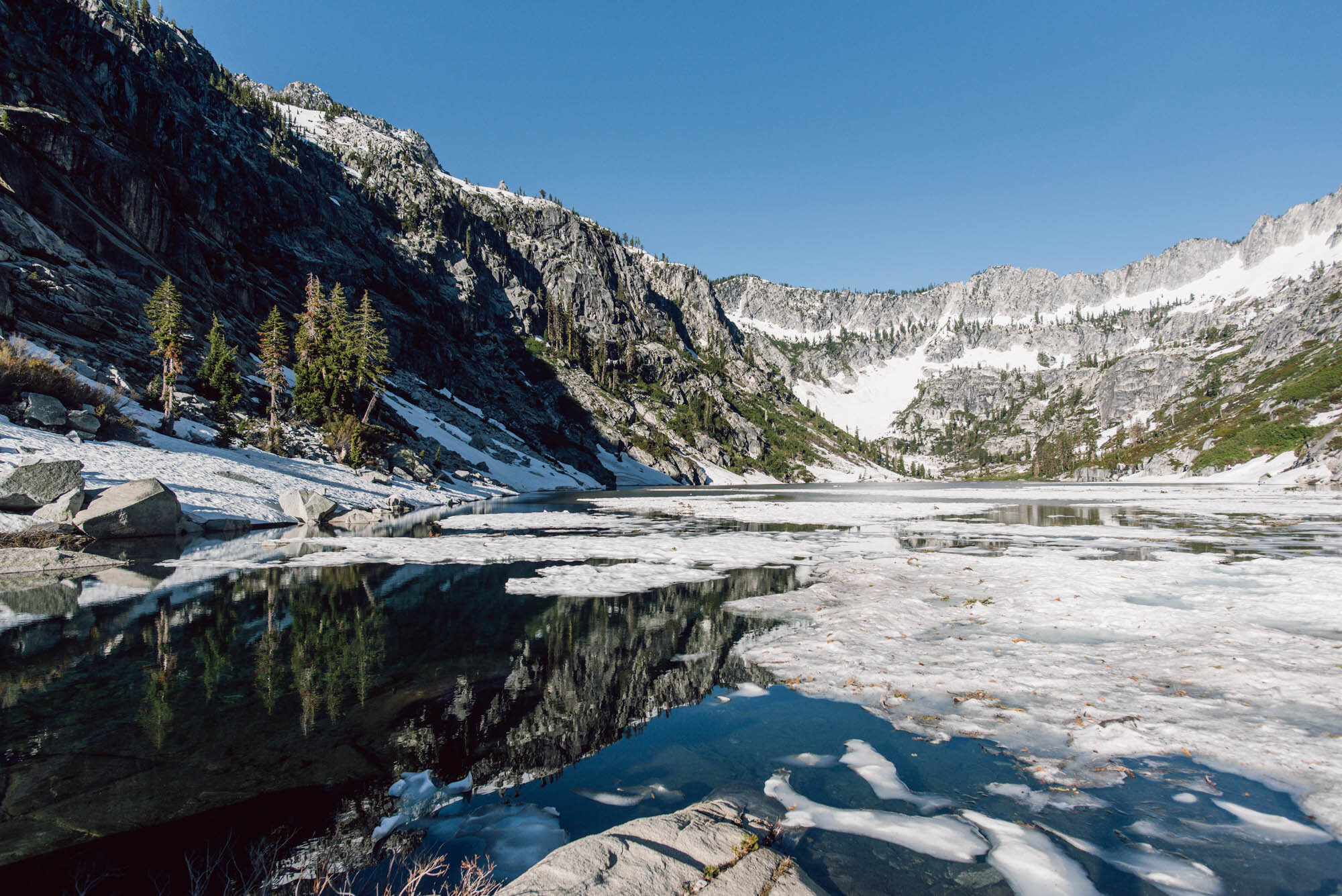
Sapphire Lake was a lot snowier than Emerald Lake despite only being a few hundred feet in elevation higher. The lake’s surface was still laced with ice and snow. It was a majestic view to start our morning off with.

Sapphire Lake

Heading back to Emerald Lake

Same photo composition of Emerald Lake, different lighting
The mid-morning sun was beating down on us once we got back to our campsite at Emerald Lake. My friend went for a swim in the lake. The water was freezing but also stunningly pure, and we joked about jumping into the lake with him. A bit of fomo mixed with a lot of yolo and next thing you know we all decided to jump into the lake together. We asked some fellow backpackers to record a video of us and we jumped into the lake, shrieked for a few seconds, and swam back out.
If the hike up Stuart Fork valley was monotonous, the hike back out was twice as monotonous. The ups and downs in the trail that we hadn’t noticed the day before burned our tired legs each time we hit another uphill.
We got back to the trailhead around 5 PM. The return to civilization after backpacking is always kind of disorienting. Cars? Cell phones? Social media? After a few days of not having those things, I felt a desire to stay disconnected and cherish the peacefulness of nature a little longer. But soon we were driving back to Redding and we could hear the pings of our cell phone notifications as we re-entered the range of mobile data.