Winter Meets Spring at Lake Aloha
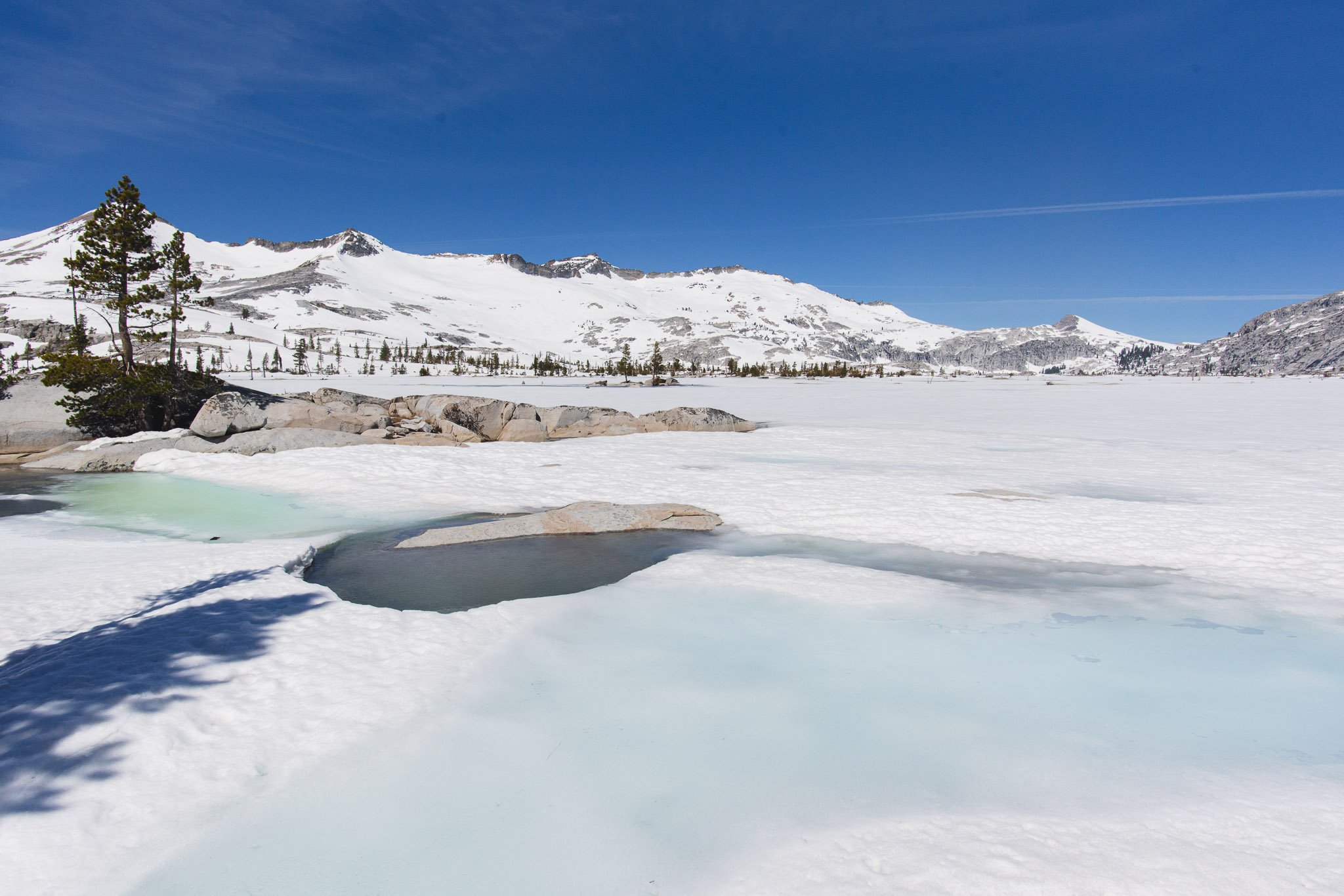
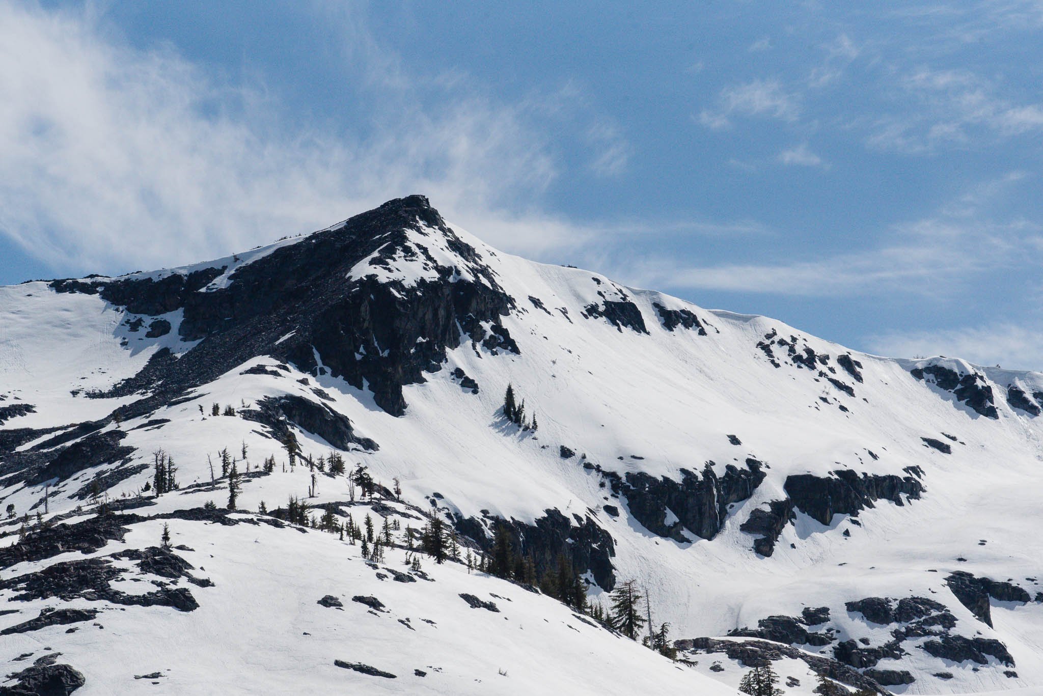
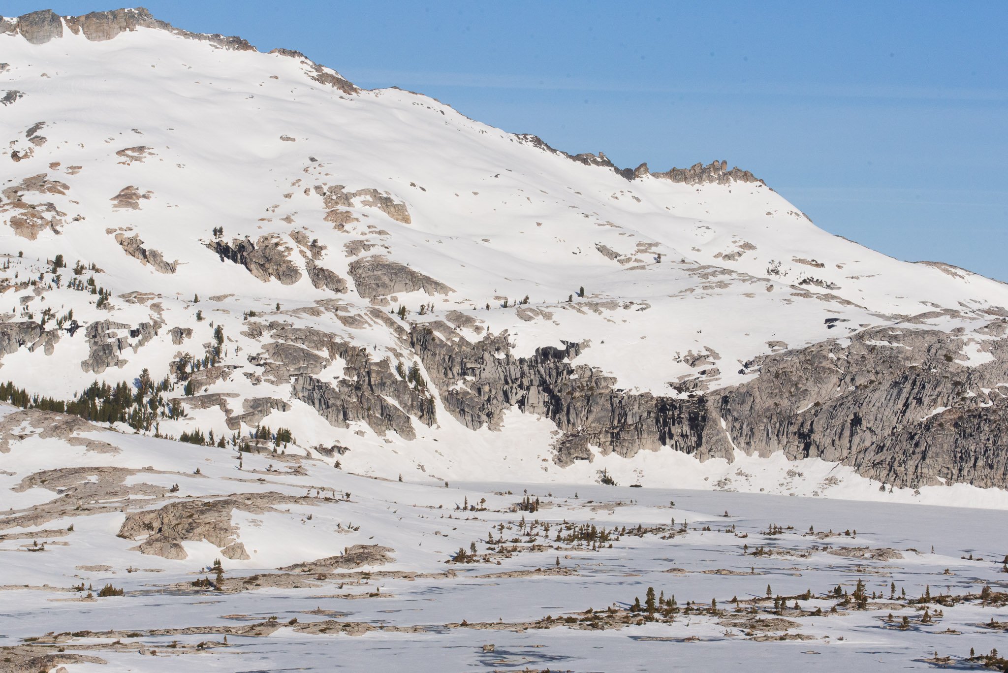
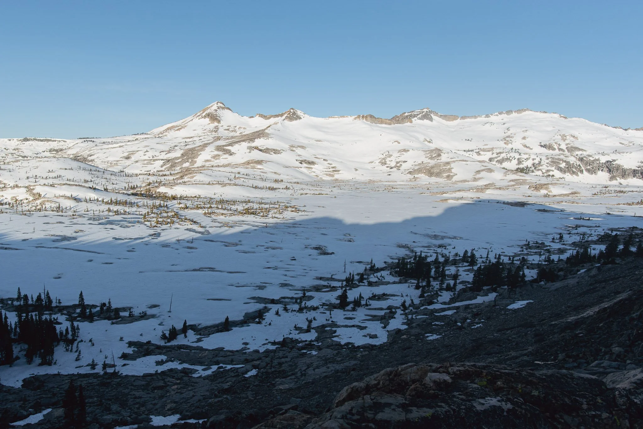
Lake Aloha is one of the most popular day hiking and backpacking destinations in Desolation Wilderness. The lake is known for its thousands of little rock islands and its beautiful backdrop of the Crystal Range (which contains the popular Pyramid Peak to Price ridge traverse that can be done with a basecamp at Lake Aloha). Lake Aloha can be accessed from the Echo Lake or Glen Alpine trailhead. The elevation gain is moderate from either trailhead, although the roundtrip mileage is long for a day hike. Split into 2 days/1 night, Lake Aloha is a beginner-friendly backpacking trip.
I've day hiked to Lake Aloha before from the Glen Alpine trailhead. Lake Aloha is actually a manmade reservoir that is drained every fall, so when we went for Labor Day in 2020, the water levels were very low. Exposed rock was everywhere and we could barely see the edge of the lake from the trail. With so little water, the lake lost its beauty. This early-season trip to revisit Lake Aloha let me see it in its full splendor.
Trip at a Glance
| Distance | 14 miles |
| Elevation Gain | 2,200 feet |
| Elevation Range | 7,415 - 8,404 feet |
| Length | 2 days |
| Permit | 33 Aloha (alternatives are 38, 39) |
| Highlights | Lake Aloha, Echo Lake, Lake of the Woods, Cracked Crag |
| Type | Out-and-back |
| Date of Report | May 21 - 22, 2022 |
The Route
| Day | Destination | Miles | Gain | Loss |
|---|---|---|---|---|
| 1 | Echo Lake to Lake Aloha | 6.5 | 1800' | 200' |
| 2 | Lake Aloha, Lake of the Woods, to Echo Lake | 7.5 | 400' | 2000' |
Trip Overview
The trail to Lake Aloha from the Echo Lake trailhead is all part of the Pacific Crest Trail (PCT). The first 2.5 miles are relatively flat and take you along Echo Lake and Upper Echo Lake. When the water taxi is running (approx starting end of May), you can opt to take it to the end of Upper Echo Lake to shave off 2.5 miles of hiking.
After Upper Echo Lake, the trail gains most of its elevation and passes by Tamarack Lake. We started seeing snow after this section at around 8300' feet. The rest of the way to Lake Aloha is flat and then a little bit downhill until you reach the shore of Lake Aloha.
The permit for zone 33 encompasses the eastern shore of Lake Aloha and is where most people choose to camp. Zone 33 hosts the campsites with the classic view of Lake Aloha with the Crystal Range in the background. Alternative zones (map here) that still border Lake Aloha are zones 38 and 39 which lie along the southern shore of Lake Aloha.
On the way back, we made a detour to Lake of the Woods. Lake of the Woods is located in a bowl, so after you hike in, you also have to hike out. That is the only notable elevation gain on the second day.
Day 1: Echo Lake to Lake Aloha
For my birthday, I took my boyfriend on his first ever backpacking trip.
With each year since 2019, I've only grown more obsessed with backpacking. So for my birthday, I wanted my boyfriend to experience a side of my life that he has never seen.
I knew May would be early for Desolation, so I was a little nervous picking Desolation for his first trip. I scoured AllTrails and Facebook for trip reports. It was unclear how cold it would be at night, where the snow would start, how deep the snow would be, etc. We brought microspikes but no other snow-specific gear.
We left Echo Lake trailhead at around 2 PM on Saturday afternoon. Echo Lake stretched as far as our eyes could see and sparkled in the afternoon sun. It was warm and the trail was snow-free, but significant snow still covered the slopes around us.
Upper Echo Lake in the front and Echo Lake in the back. Echo Lake looks small from this angle and you can even see the boat landing all the way at the other end.
Water was everywhere because of the rapidly melting snow. The snowmelt used the trail as its riverbed and flooded entire sections of the trail. Fortunately the trail was pretty rocky so there were only a few muddy sections, and there was usually a way to avoid walking through the water. Our waterproof shoes were essential. When snow began appearing on the trail, it was mostly hardpack and easy to walk over.
We met 2 pairs of hikers and backpackers going in the opposite direction, but neither had made it to Lake Aloha. It was slightly concerning and we kept wondering at what point we too, would have to turn around. Then we met some day hikers with a different report—they had made it to Lake Aloha! The terrain was flat and it was doable without microspikes.
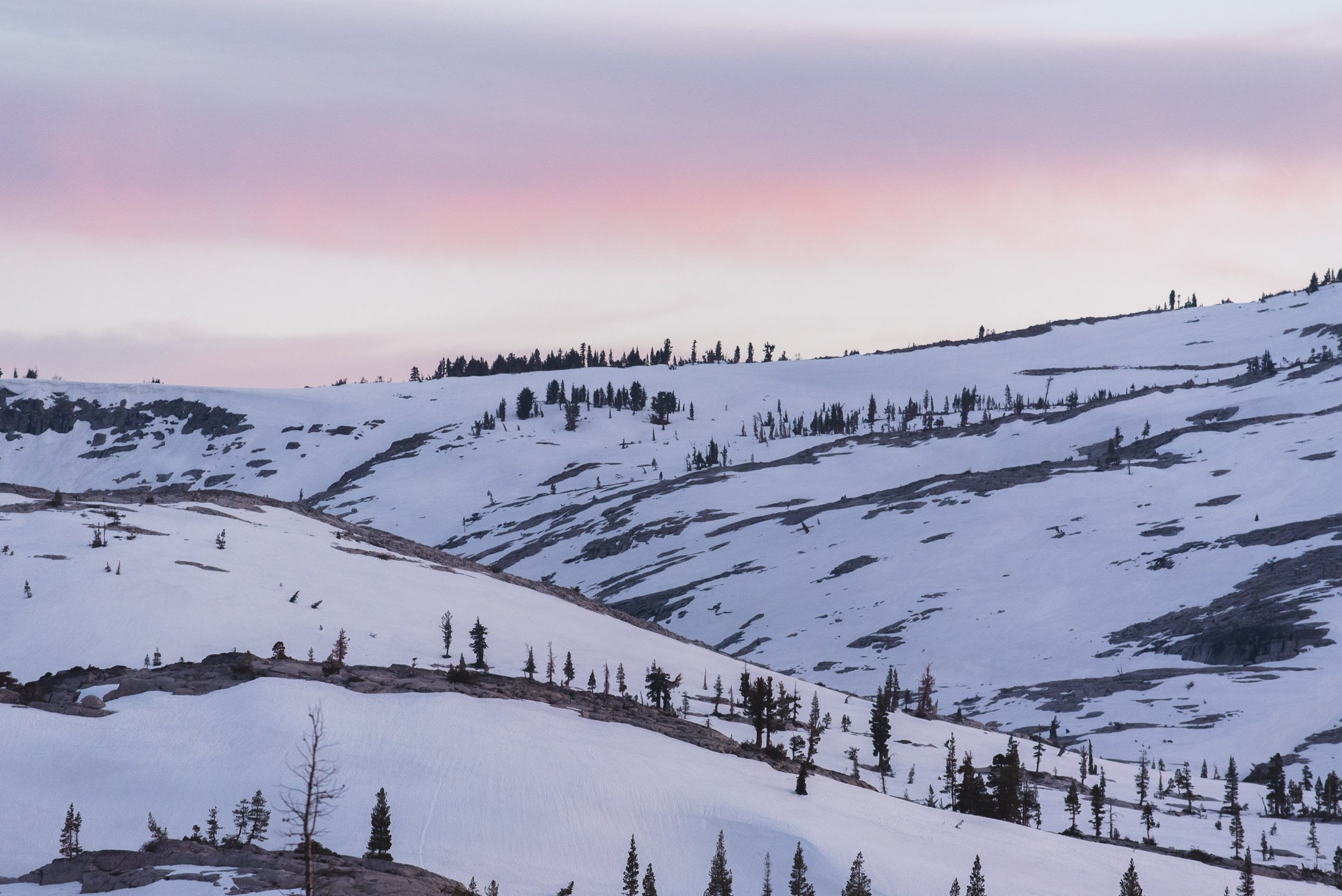
The snow made everything look the same and we had to keep checking AllTrails to make sure we were on trail. Right before the lake, we found ourselves a bit off-trail and were heading steeply downhill between trees. Then suddenly we broke out of the forest and there was Lake Aloha right in front of us, a gleaming white sheet of snow that made it impossible to see where the ground ended and where the lake started. We followed the boot tracks north along the lake, and found a gushing stream where we stopped to filter water. The water was so cold that we had to take breaks from squeezing to regain feeling in our fingers.
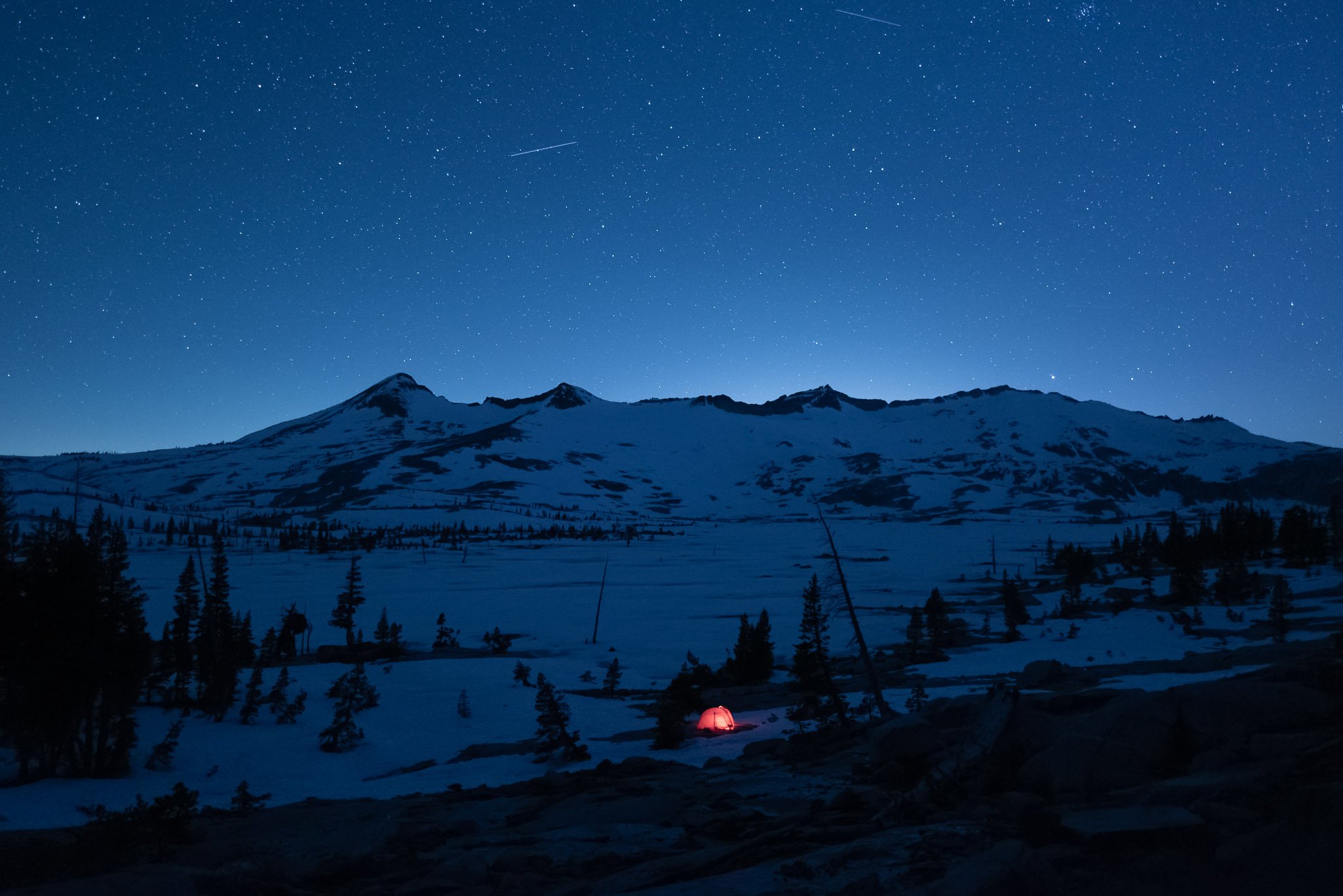
We passed by some other campers who had set up on some exposed granite close to the lake, but we kept walking to get more out of the trees. We ended up walking until we were at the base of the ridge containing Cracked Crag, and set up camp on a flat rock surrounded by snow. I love camping on bare rock. It feels a lot cleaner setting my foam pad and other gear on the ground. I also usually camp in a group with multiple tents, and it was much less stressful this time finding a campsite for just one tent.
Since we were a little higher up from the lake and away from the trees, we had a wide open view of Lake Aloha. The granite slope behind us was all mine for my evening photography session.
Day 2: Lake Aloha and Lake of the Woods
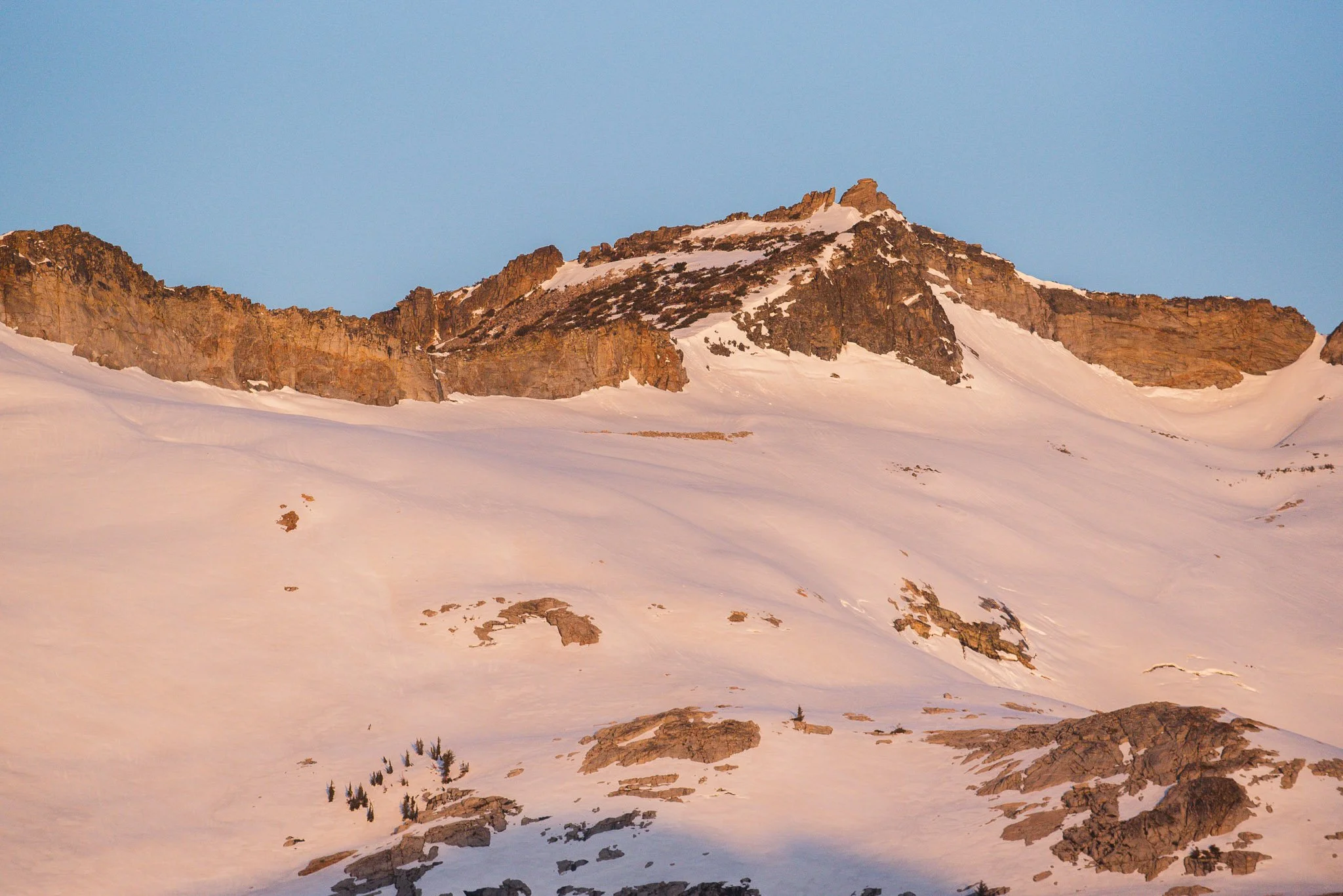
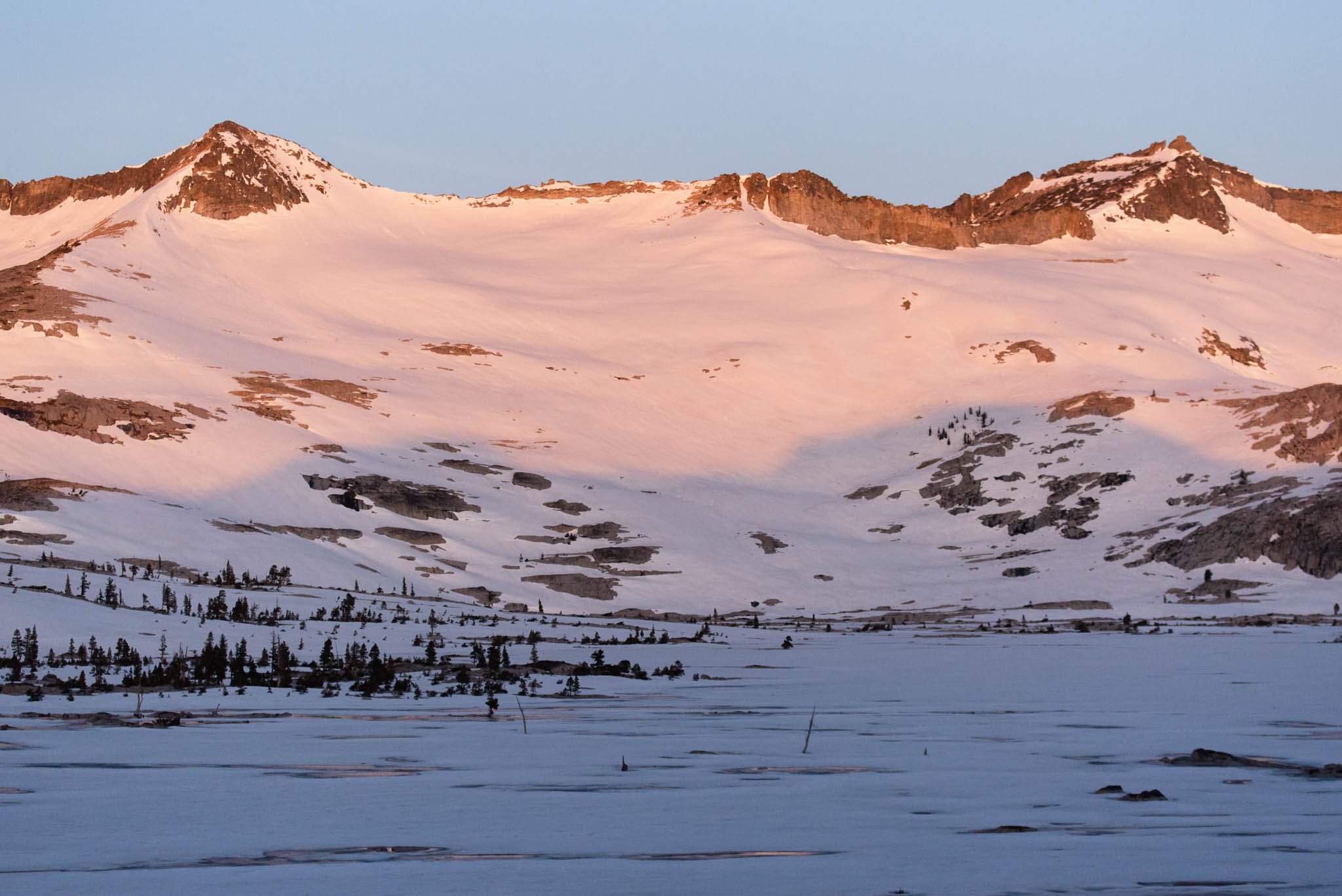
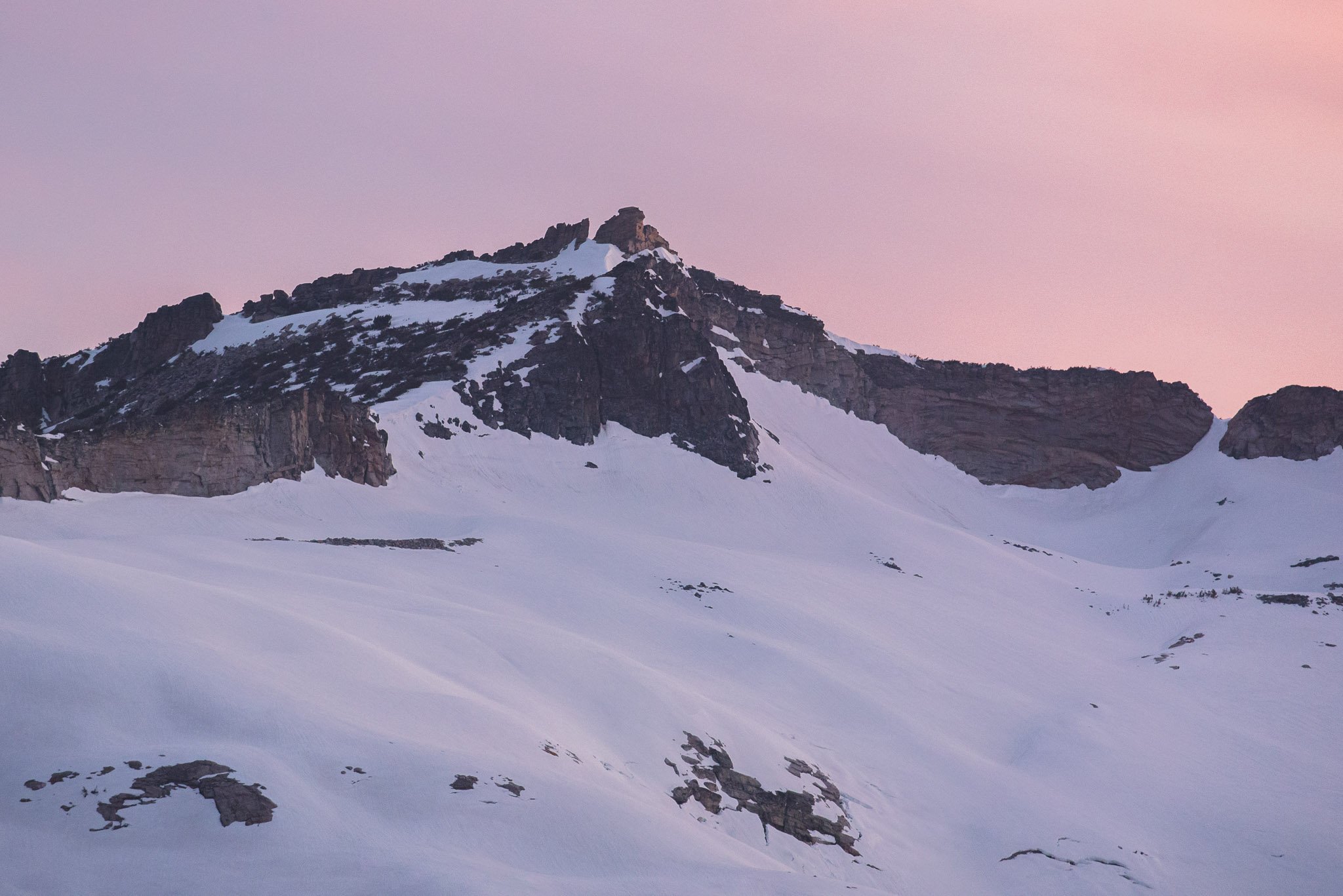
The night before I had set an alarm for 6:30 AM even though sunrise was at 5:40 AM because I didn't think the sun would hit the mountains that early. Luckily, I happened to wake up at 5:30 AM and saw that alpine glow was already in full swing.
I decided to let my boyfriend sleep and got out of the tent to take pictures. Despite sunsets and sunrises being an everyday occurrence, alpine glow is not. Sometimes clouds are at the horizon blocking the best of the colors, or sometimes the sun isn't shining the right direction. I was too excited to go back to sleep after, so I decided to scramble towards the ridge behind us.
Alpine glow at around 5:50 AM. From left to right, Pyramid Peak, Mt. Agassiz, and Mt. Price.
In one hundred vertical feet or so, easy to walk on granite slabs turned into precariously balanced boulders. Most of the boulders were lodged into position solidly, but you can't tell when you'll step on one and it'll teeter and you'll lose your balance. It was more scary because I was alone. I set a turnaround time and aimed for a solid rock outcropping as my final destination, but once I got there I realized I was really close to the top of the ridge. So I kept going, trying to stay close to patches of dirt and shrubs for better footing.
I got to the top in around 40 minutes. Lake Aloha is just a sliver when you're eye level with it, but from above, I had a much better view of the sprawling lake and the tiny rock islands dotting the lake. I didn't research this scramble so I had a lot of anticipation as I crested the ridge and took in the view on the other side.
Views of Lake Aloha from the ridge
From a higher angle you can get a clearer look at all the mini islands
An unnamed lake seen on the other side of the ridge
The snowfield on the other side of the ridge that I carefully avoided. It was steep.
On the way down it was much easier for me to see where I was going, and I was also more confident. I headed for the trees as soon as I could and the brushy ground was much easier to walk on than the rocks. I made it down in just 15 minutes. I was worried about taking too long on my scramble but my boyfriend was still fast asleep by the time I got back.
Not sure where the ground starts and Lake Aloha starts
We left camp around 10 AM and started heading towards Lake of the Woods. The beginning of the hike was completely over snow and slightly uphill. As we started dropping down towards the lake the snow became intermittent and we even joined up with the trail again. Lake of the Woods was significantly more melted than Lake Aloha. We could see the bottom of the lake, but upon closer examination, the surface was actually frozen. We stabbed the ice sheet with our hiking sticks and the ice bobbed and cracked, air bubbles sneaking between the ice and the water underneath.
The melting lake revealed rocks arranged into a heart
Lake of the Woods
The trail stayed next to the shore of the lake for only a short while before it started climbing. We reached impasses often because of the snow, and it was hard to read the wildly criss-crossing boot tracks on the detours. We tried to stay as close to the trail as possible still because of the steeper terrain here. Soon we reached the Lake of the Woods and PCT junction. We were back on the main thoroughfare and the boot tracks in the snow were well-worn. The water levels were noticeably higher on our way back due to the warm day and night.
I am so glad I decided to do Lake Aloha as an early-season trip. Despite the snow being harder to walk on, the snow was all hardpack and we didn’t need any special gear. Water was plentiful and the mosquitoes were non-existent. We didn’t have to endure below-freezing nights or camp on snow to see a beautiful snowscape.
I also love how different the wilderness can look in different weather conditions and different seasons, even when you return to the exact same spot. I can see myself doing another trip here in the summer after the snow has melted, and building an extra day into the trip to attempt the Pyramid Peak to Price traverse. Until next time, aloha Lake Aloha!


